Spinola cycle route in South Breda
Resistance and defence: experience the Siege of Breda through the eyes of the Breda natives and the Spanish with this cycle route of 24 kilometres.


Show all 12 photos
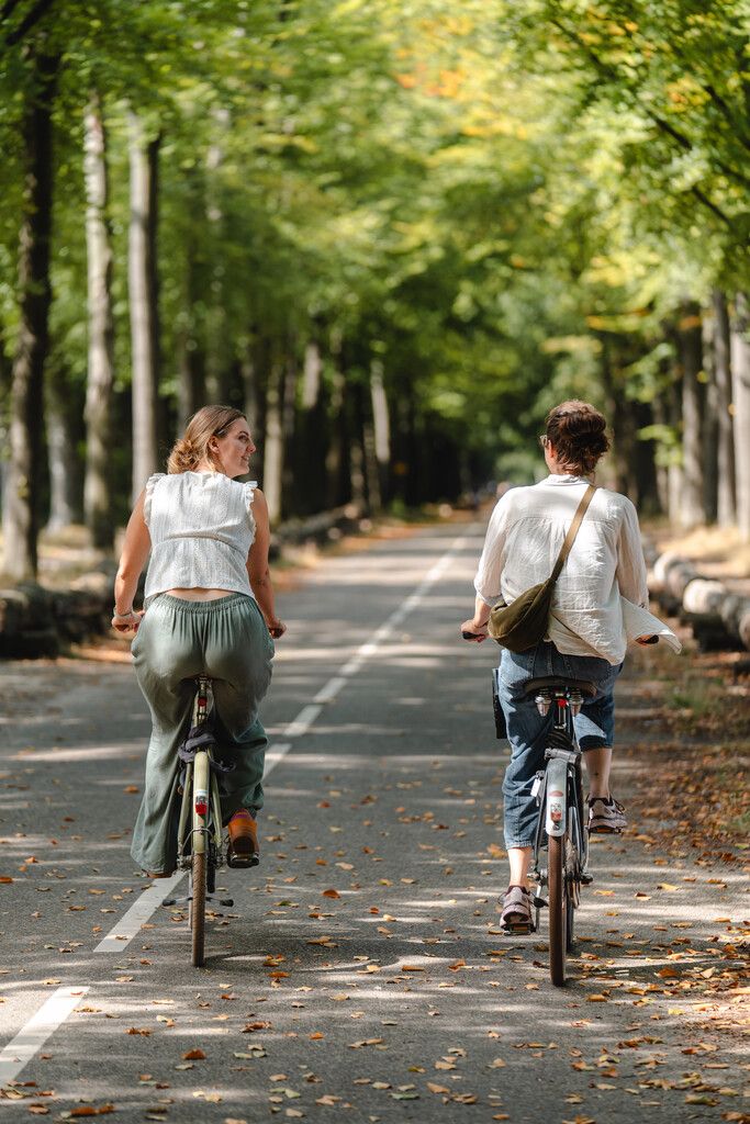

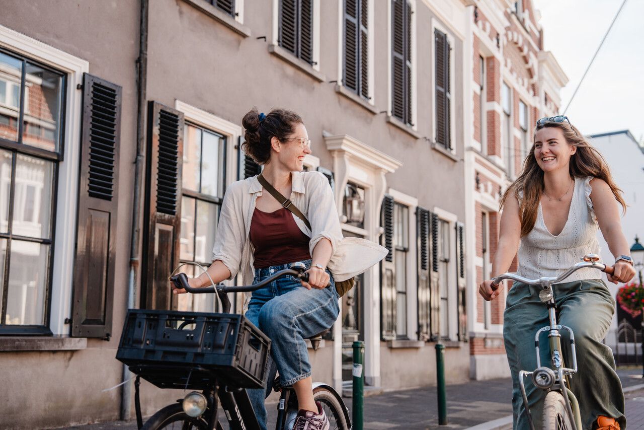
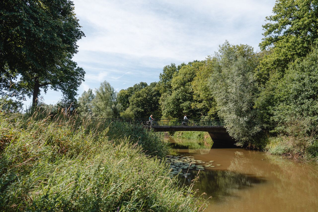
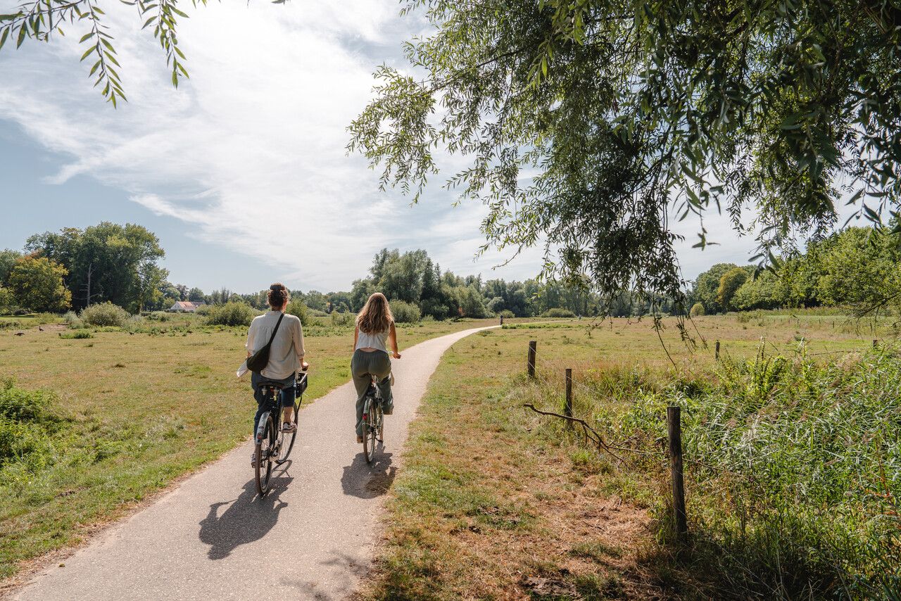
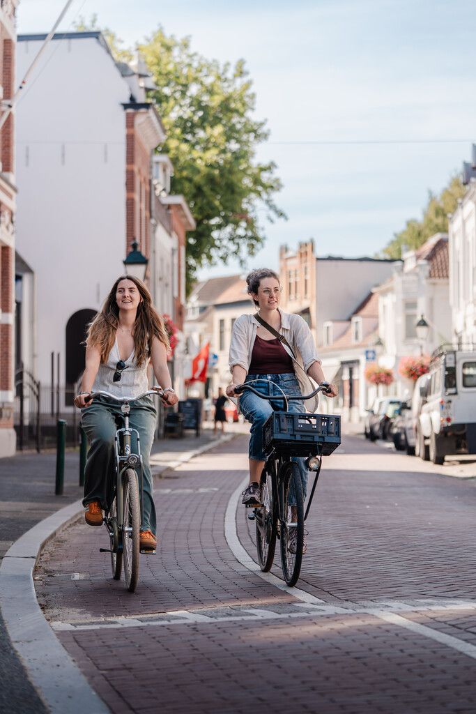
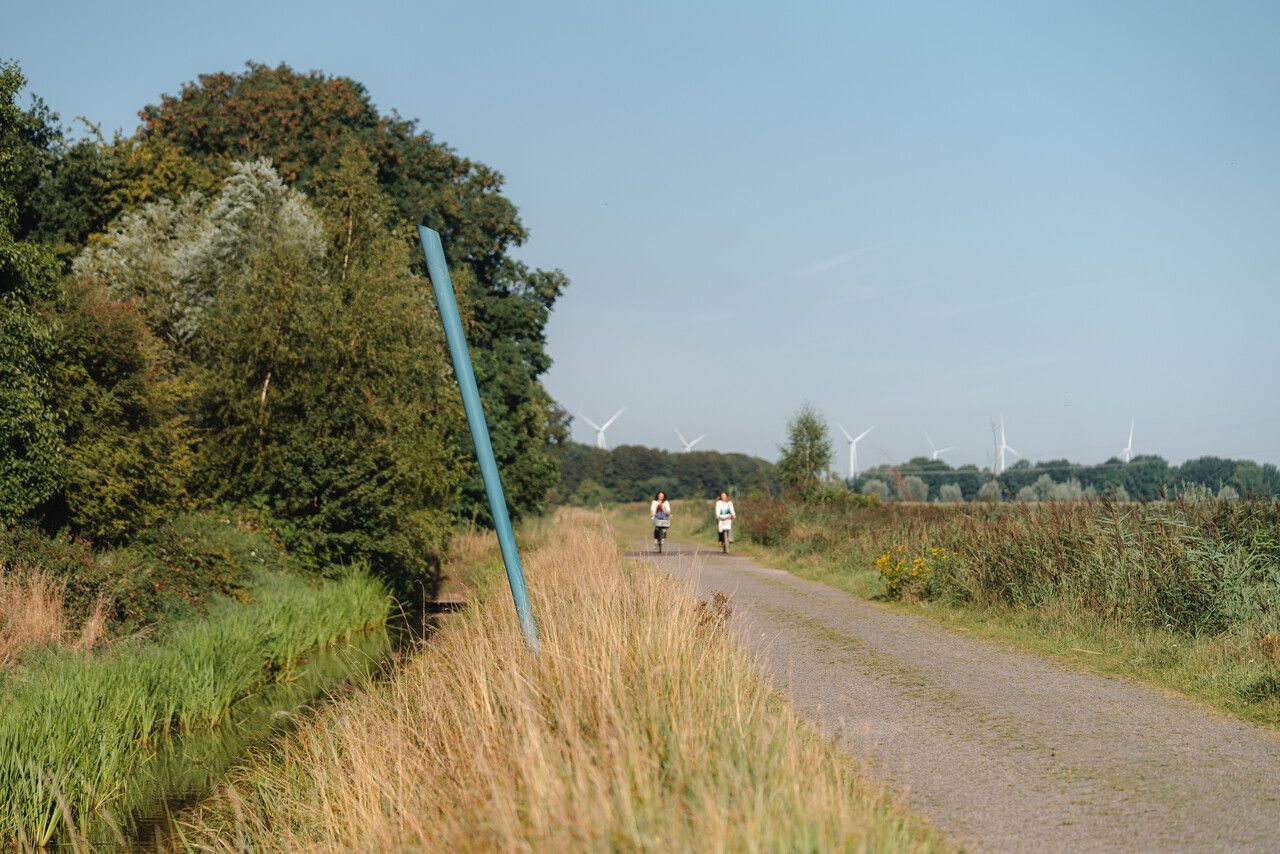
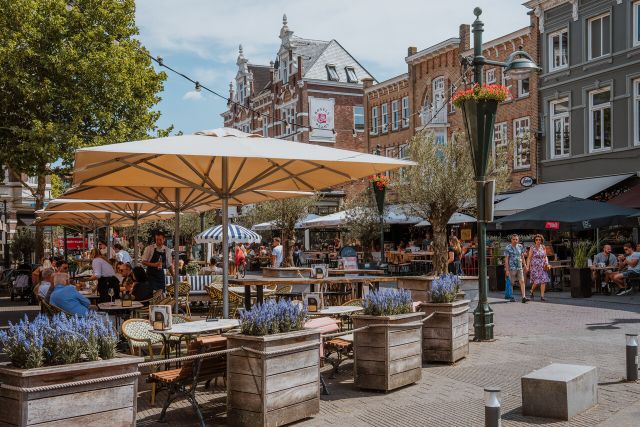
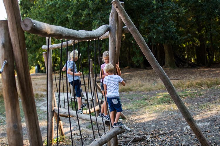
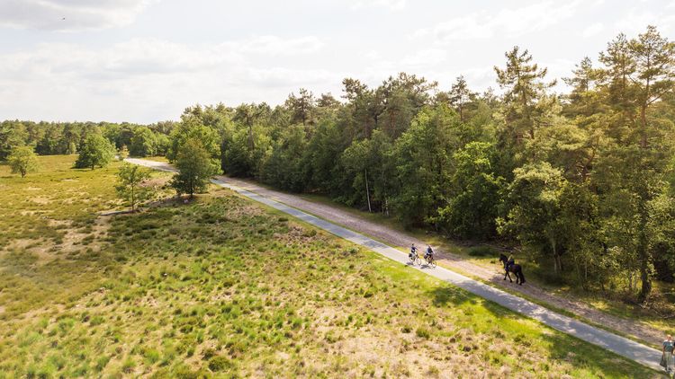
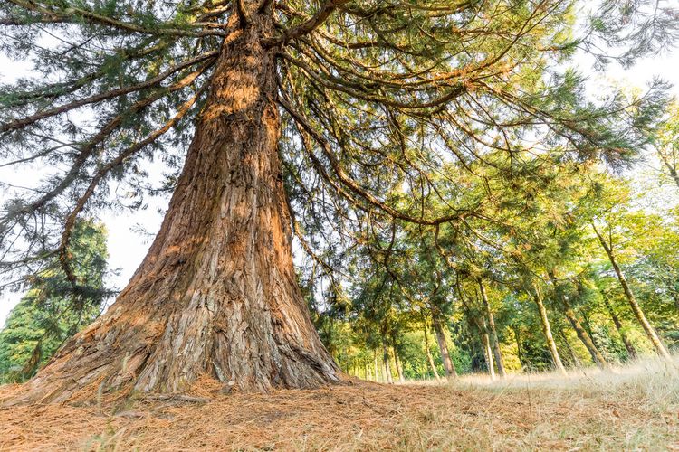
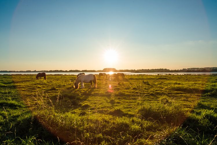
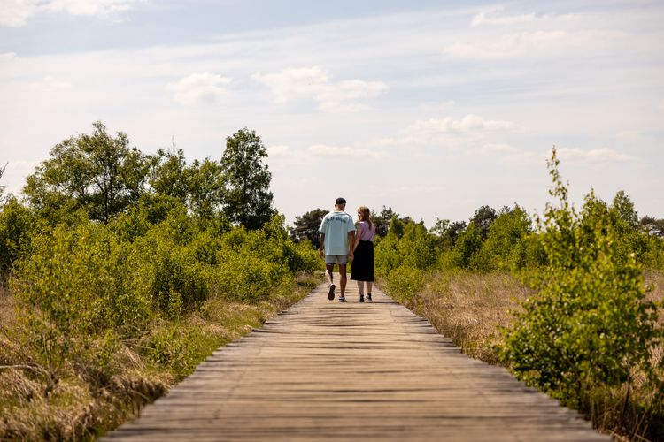
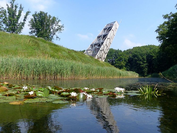
This unique 24-kilometre-long cycle route takes you from the rich centre of Breda through the green, varied valley of the Mark river and the Mastbos (woods) and back again. While cycling, you discover what it was like to live in front of and behind the defensive lines during the Siege of Breda. You follow in the footsteps of Spanish military troops and the army camps where they stayed. And you learn how the Breda natives resisted the Spanish with smart resistance actions. You pass by the dynamic Valkenberg Park, and cycle out of the populated area via Ginnekenweg and the Ginnekenmarkt. The built-up, urban area gradually changes into a peaceful, green area, into places where you now see squirrels and rabbits, yet where it was not so quiet and peaceful more than four hundred years ago.
Two different routes take you o…
This unique 24-kilometre-long cycle route takes you from the rich centre of Breda through the green, varied valley of the Mark river and the Mastbos (woods) and back again. While cycling, you discover what it was like to live in front of and behind the defensive lines during the Siege of Breda. You follow in the footsteps of Spanish military troops and the army camps where they stayed. And you learn how the Breda natives resisted the Spanish with smart resistance actions. You pass by the dynamic Valkenberg Park, and cycle out of the populated area via Ginnekenweg and the Ginnekenmarkt. The built-up, urban area gradually changes into a peaceful, green area, into places where you now see squirrels and rabbits, yet where it was not so quiet and peaceful more than four hundred years ago.
Two different routes take you on a cycling tour in a northern or southern direction through the eventful history of Breda. You travel through the amazing historic city and cycle through the green surroundings. You learn about army camps, defensive works and resistance actions, some of which later formed the basis for the Zuiderwaterlinie (Southern Water Defence Line). Some traces are still present in the landscape here and there.
In Breda you will encounter lances in various colours. The blue lances mark contra-vallation – the part of the defensive line around Breda with which the Spanish intended to prevent the Breda natives from escaping the city. The cognac-coloured lances represent circum-vallation – the part of the line that was to keep State soldiers out of the city. The lances of the former army camps are red.
The Spanish army commander Spinola left an indelible impression behind
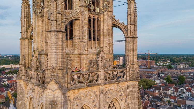
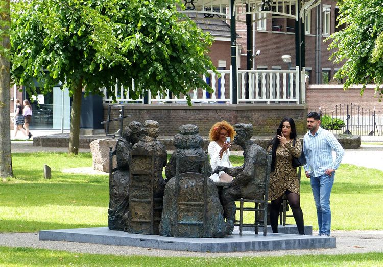
A country involved in a battle for independence. More than four hundred years ago, that was the case here in the Netherlands. The ‘States’ fought the Spanish for that purpose. And the Spanish fought back under the leadership of Ambrogio Spinola. They occupied various cities, but the most famous perhaps is Breda. This city was important because of its strategic location. It was a major asset for the Spanish with its city walls, canals and fortifications. Furthermore, this was the city of the Nassaus, the same family as William of Orange (the leader of the resistance). Occupying Breda therefore also felt like a moral victory.
In 1624 and 1625 the city was cut off from the outside world completely by two heavily guarded defensive lines for eleven long months. Various army camps were based around those lines, at location such as Gageldonk Castle and Ginnekenmarkt. The States attempted to break the defence from the outside. They raided transport wagons that were to provide the army camps with supplies, and they planned focused attacks on army units and defensive lines. Breda natives carried out resistance actions from the inside. A smart saboteur pretended to be someone who could repair the roof of the church near Ginnekenmarkt – a food storage facility for the Spanish – and set the church on fire.
The resistance actions were to no avail. After eleven months there was so little food in the occupied city that the Breda natives were forced to surrender. The climax, where Breda’s military governor Justinus of Nassau hands over the key to the city to the Spanish warlord Ambrogio Spinola, has been immortalised in the famous painting ‘The Surrender of Breda’ (‘La rendición de Breda’) by the Spanish painter Diego Velázquez.
And the rest is history. Well, not all of it. Because a part of the mostly temporary Spanish defensive works served as a basis for the western part of the Zuiderwaterlinie some 75 years later. Thus Spinola became an inseparable component of Dutch fortress history – something that he himself certainly had not foreseen.
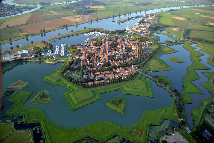
The Zuiderwaterlinie
The Zuiderwaterlinie is the oldest, longest and most used of all of the Dutch water defence lines. It runs from Bergen op Zoom all the way to Grave and is a unique chain of 11 Brabant fortified cities, linked through the typical Dutch use of water as a defence. Part of the Zuiderwaterlinie is built on older, existent defensive works that were used during the Siege of Breda. This caused the mostly temporary defensive works of the Spanish army commander Spinola to become permanent parts of Dutch fortified history. Check here for an overview of all cycle and hiking routes and to read more about the Zuiderwaterlinie.
-
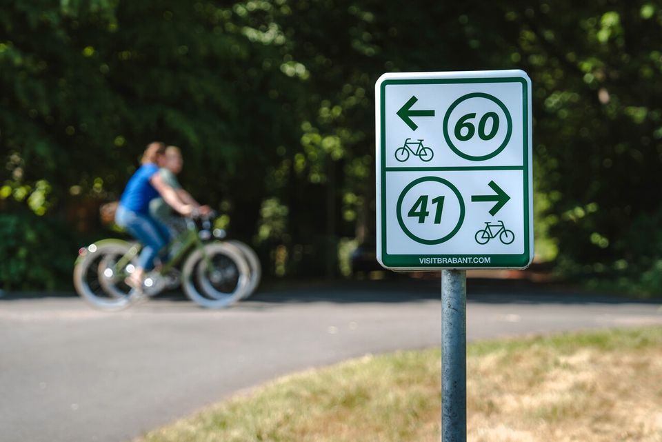
Signposting
Simply follow the signs and cycle along the route from one numbered junction to the next.

Signposting
Simply follow the signs and cycle along the route from one numbered junction to the next.
-
Hotline routes
Hotline routesIf there is something wrong on the route, report it here.
Tips from Brabant residents
Skip map elementsLocations on this route
Start point:
Waypoint bike 35
Breda
Navigate to starting point
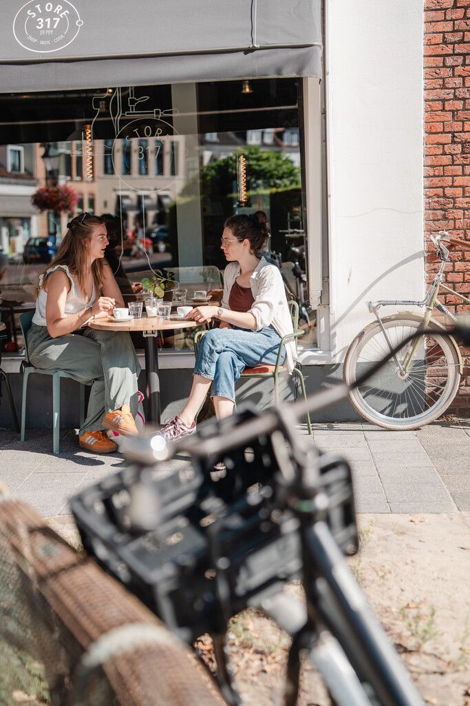
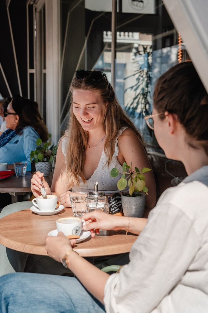
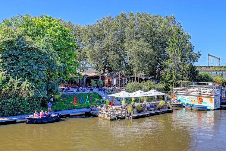
BAAI Breda
There is a beautiful terrace alongside the water at the location where the Mark river enters Breda. BAAI is the place to enjoy delicious wines and many various Breda beers. But what is most striking is how you immediately experience that wonderful holiday feeling here.
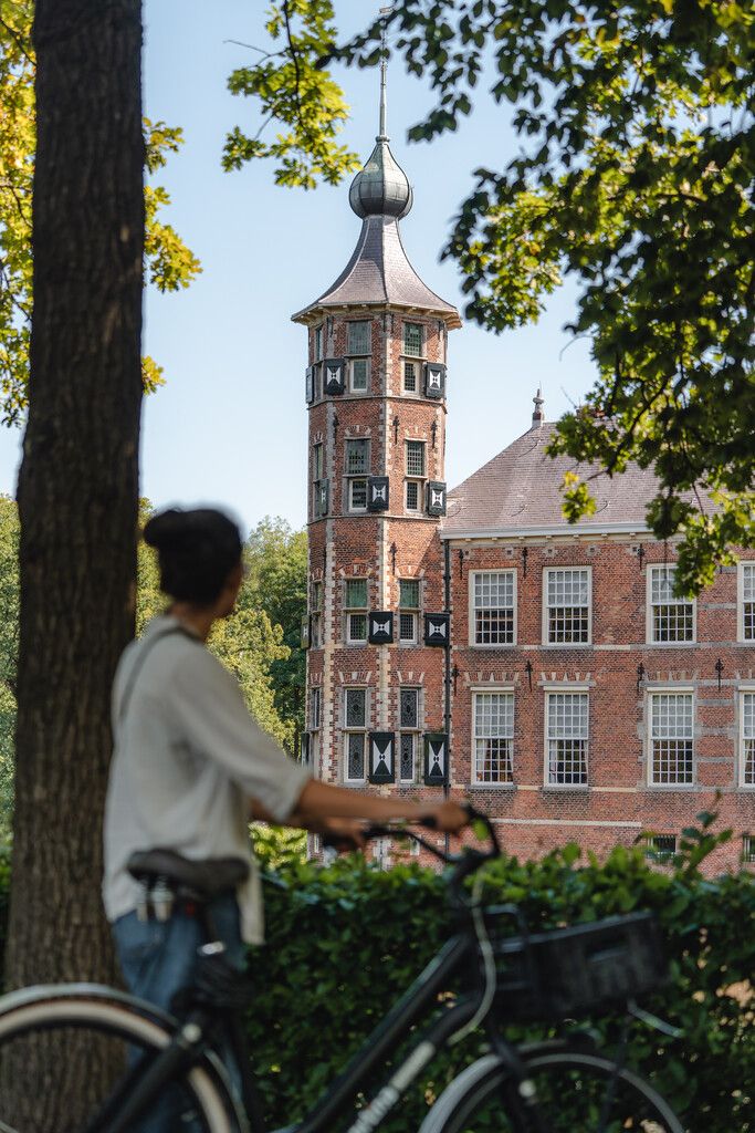
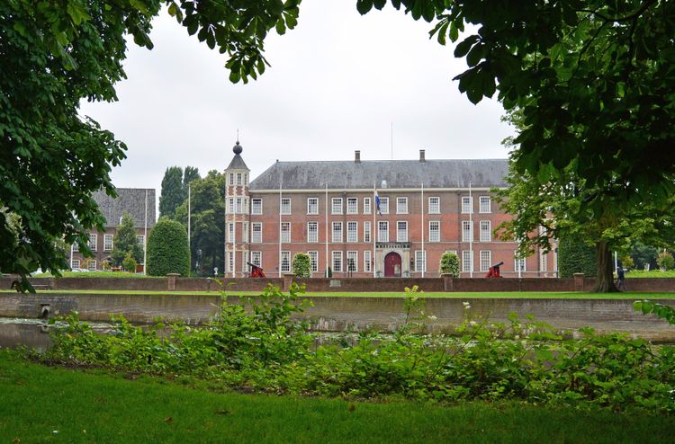
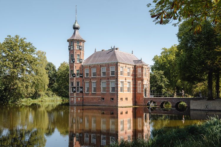
Kasteel van Breda
Breda Castle was once the ancestral home of the Nassaus, the ancestors of our royal family. Because of the important international role of the Nassaus, the Castle was an important place in Europe during the 15th to 17th centuries.
Golden Lance | Site of the Key Handover
Anyone who has ever visited the Prado Museum in Madrid may have seen the painting in real life: The Surrender of Breda (La rendición de Breda) by the Spanish artist Diego Velázquez.

Van Coothplein
During the siege, there were three access gates, including one at this point.
Former River Dune Ginnekenweg/Rustlandstraat
Around the inn that stood here—‘Den Doorntuyn’—they built a high sand embankment.
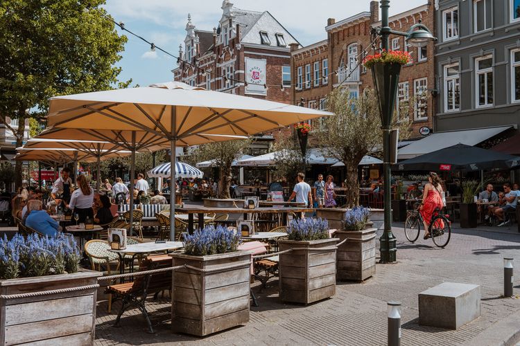
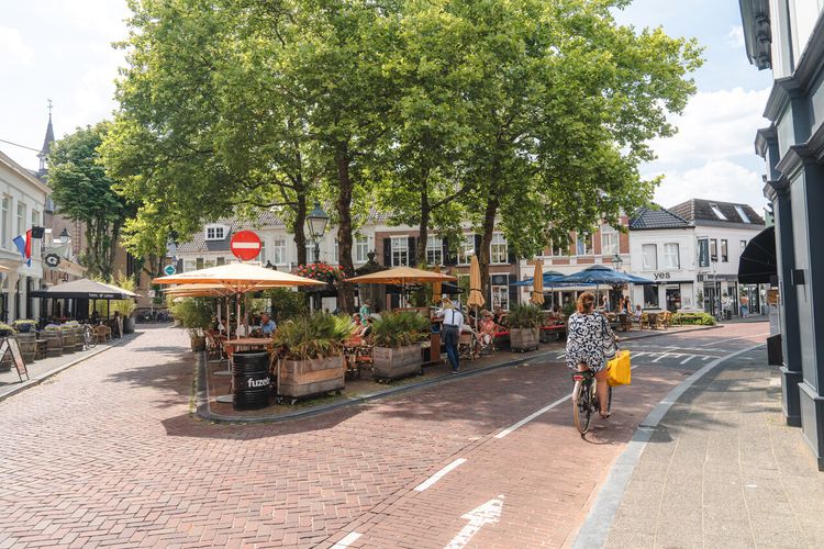
Ginnekenmarkt
These days, the Ginneken Market is mainly a lively spot for food and drinks in the southern part of Breda.
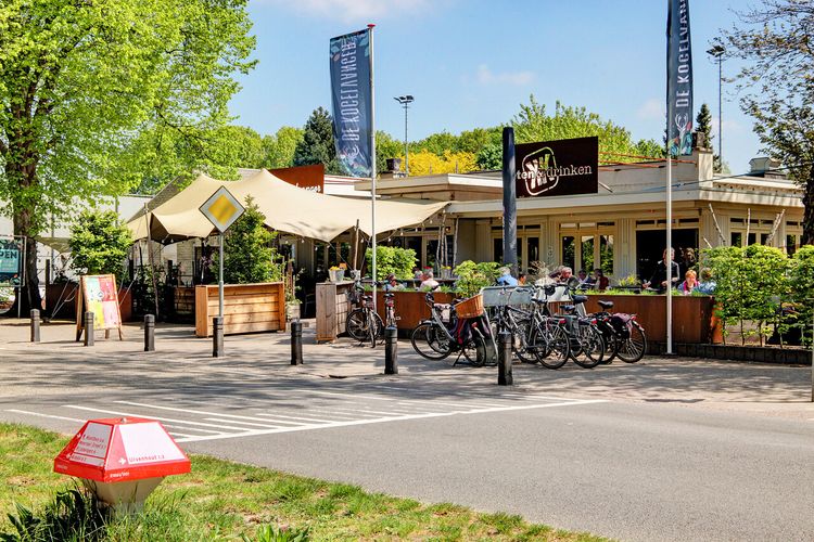
De Kogelvanger
Restaurant De Kogelvanger is the ideal base for exploring Breda’s luscious green environment.
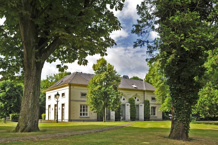
Bouvigne Castle
Since 1973, the Brabantse Delta Water Authority has been the proud owner of this country estate on the southern side of Breda.
Mastbos
The Mastbos was built more than 500 years ago by Hendrik III van Nassau. It is a mixed forest where beech avenues, vast heaths, dark coniferous and beautiful fens alternate.
Wooden Bridge over the Aa of Weerijs
Exactly at this point, over four hundred years ago, such a guard post was located.

Location of the Former Redoubt along the Southern Ring Road
Here, at this point, was the Biebrug. This is where the ring road and the land road from Antwerp intersected.
End point:
Waypoint bike 35
Breda
Navigate to endpoint
- 35
- 32
- 31
- 30
- 33
- 47
- 80
- 81
- 82
- 83
- 36
- 06
- 05
- 27
- 20
- 22
- 28
- 29
- 32
- 35
Route features
-
7 places to go in the Brabant countryside with children
Adventure is there for the taking in the Brabant countryside. Getting some exercise, playing and being outdoors means quality time with the whole family. Follow fun children’s routes and gnome paths together.
-
From city to silence: a four-day cycling trip through North Brabant
Make sure your e-bike is fully charged and get ready for a four-day cycling holiday with plenty of delicious spots to take a break.
-
A cultural city trip: Breda and surrounding area
Breda is a city filled with unique stories, some of which you will learn about during this two-day trip.
-
From monastery gardens to drifting sand dunes: a 5-day motorhome road trip through the Van Gogh National Park
Hike and cycle through Van Gogh National Park on a 5-day east–west route. Discover nature, local flavours, and stories, with welcoming motorhome stops near monasteries, castles, woods, dunes, and lively Brabant towns.
-
A long weekend of surprises in the heart of Brabant
Allow yourself three days to be amazed by a part of North Brabant between Tilburg and Esbeek, close to the Belgian border.
-
5 times UNESCO in North Brabant
UNESCO is best known for the World Heritage List. But UNESCO also recognises heritage in other areas, which means you will encounter UNESCO sites also in North Brabant.
-
Slow travel along the best parts of the Land van de Peel
A region where the heart beats to the unmistakable Brabant hospitality, individuality, and passion for enjoying life in a way that only the people of Brabant know how to do.
-
Cycling in the footsteps of Philips and Van Gogh in Eindhoven
Anyone exploring North Brabant will sooner or later follow in the footsteps of local icons. These are sure to include the Philips brothers and Vincent van Gogh, the master painter.
-
Cycling past the highlights of the Brabantse Wal
Sandwiched between Zeeland and the Belgian border lies the Brabantse Wal or Brabant Ridge – an area where the higher sandy ground merges into polders of marine clay soil. Let's explore this area by bicycle starting in the historic city, Bergen op Zoom.
-
A weekend of Van Gogh and New Dutch
Innovative, persistent and just a bit of a rebel. Immerse yourself for a whole weekend in New Dutch in Eindhoven and cycle in the footsteps of Van Gogh to picturesque Nuenen.