Walking route 3: Son en Breugel – Sint-Oedenrode | Liberation Route Brabant
Discover the area around Son en Breugel and Sint-Oedenrode where the Americans landed.


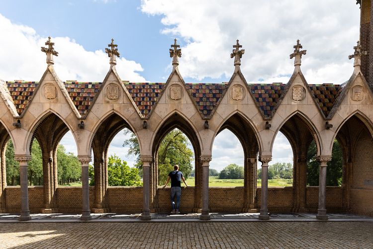
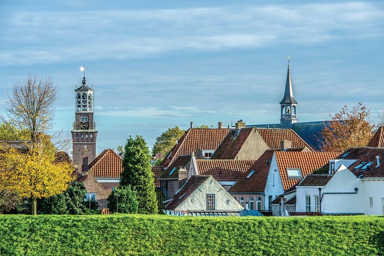
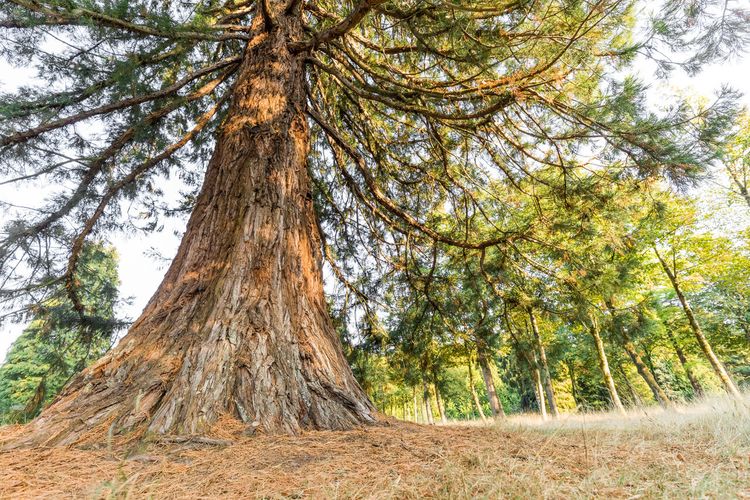
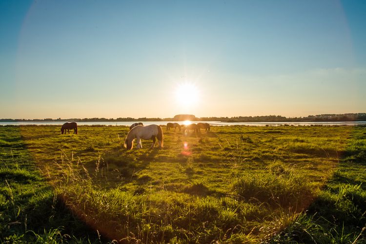
Show all 5 photos
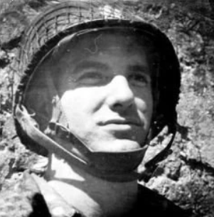

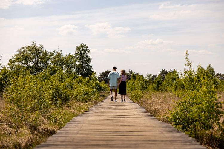
Discover the area where the American 101st Airborne Division landed during the Market Garden airborne operation. This 25km section will take you along the third part of the route taken by the liberators on Dutch soil. The Liberation Route Brabant tells the story of the liberation, but also recounts what the Second World War meant to everyday Brabant folk. The total route is 125 kilometres long and is divided into five sections. The route passes along the Airborne Footpath which tells the story of Operation Market Garden. Roads and bridges had to be captured to circumvent the Siegfried Line via Arnhem to enable the Allied forces to advance on Berlin.
The route takes you past historic locations which are typified by courage, sorrow, fear and hope. Soldiers, local inhabitants, refugees and occupying forces saw their lives change here. You can only imagine what happened during the war in North Brabant and especially in these places.
About this route
This walki…
Discover the area where the American 101st Airborne Division landed during the Market Garden airborne operation. This 25km section will take you along the third part of the route taken by the liberators on Dutch soil. The Liberation Route Brabant tells the story of the liberation, but also recounts what the Second World War meant to everyday Brabant folk. The total route is 125 kilometres long and is divided into five sections. The route passes along the Airborne Footpath which tells the story of Operation Market Garden. Roads and bridges had to be captured to circumvent the Siegfried Line via Arnhem to enable the Allied forces to advance on Berlin.
The route takes you past historic locations which are typified by courage, sorrow, fear and hope. Soldiers, local inhabitants, refugees and occupying forces saw their lives change here. You can only imagine what happened during the war in North Brabant and especially in these places.
About this route
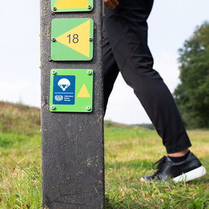
This walking route has been created by VisitBrabant Routebureau in association with Brabant Remembers. The route is marked out using the Brabant numbered junction system. Simply walk from one numbered junction to the next. The route between the junctions is marked by arrows. If there is anything wrong with the signposting along this route, please report this on visitbrabant.com/meldpunt You can also call us on +31(0)800 4050050.
Route map
You can view this route page on your telephone or download the GPX file. If you prefer to go on the walk using a paper map, you can order one in our webshop.
Walking in the liberators’ tracks.
The Liberation Route Brabant tells the story of the liberation, but also recounts what the Second World War meant to everyday Brabant folk. View all the other Liberation cycle and walking routes here.
-
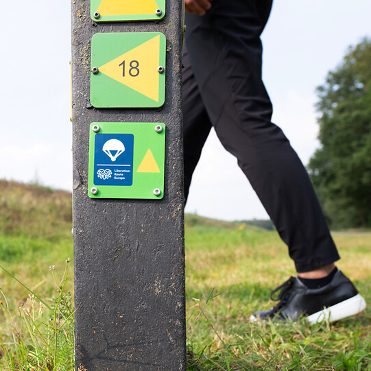
Liberation Route Brabant direction signs
Follow the 'Liberation Route' signs. These are hanging under the regular junction signs.
Liberation Route Brabant direction signs
Follow the 'Liberation Route' signs. These are hanging under the regular junction signs.
-
Hotline routes
Hotline routesIf there is something wrong on the route, report it here.
Tips from Brabant residents
Skip map elementsLocations on this route
Start point:
Waypoint walk 62
Son
Navigate to starting point
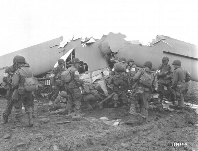
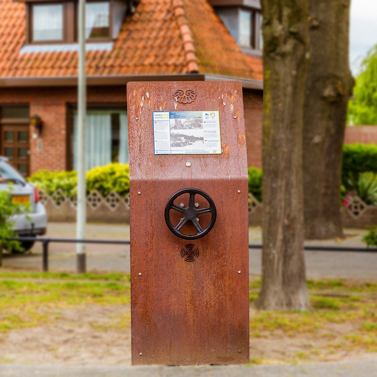
The bridge or your life
After successfully dropping on the moors north of Son on Sunday September 17, American paratroopers immediately head towards the bridge over the Wilhelmina Canal.
Sanatorium used as a field hospital
During Operation Market Garden, the sanatorium in Son en Breugel was used as a field hospital.
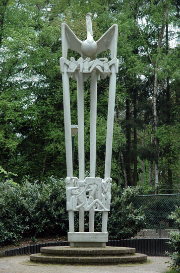
Joe Mann Monument
The monument consists of four concrete columns, crowned with a statue of a pelican on its nest, with chicks.
Former Battlefield Forest Area Best
On September 18 and 19, 1944, incredibly fierce fighting took place in these woods.

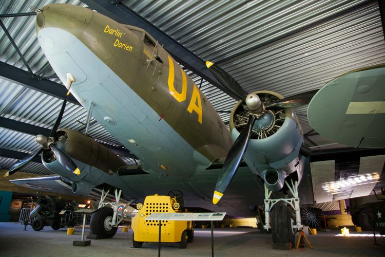
Museum Wings of Liberation
Follow in the footsteps of the 101st Airborne Division and relive the story that led to the liberation of the southern Netherlands. “Here you are reminded of a time that we should never forget,” one visitor said.
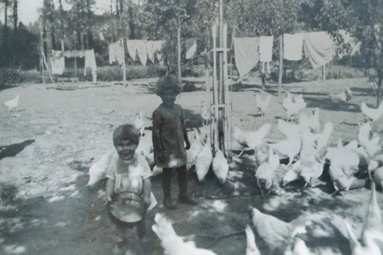
Hiding Place Farm Sonniuswijk
From September 18, 1944, the area around Son and Breugel became restless.
Temporary war cemetery in Wolfswinkel
On 19 September 1944, Son U.S. Military Cemetery was set up in Wolfswinkel.

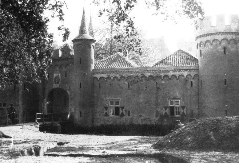
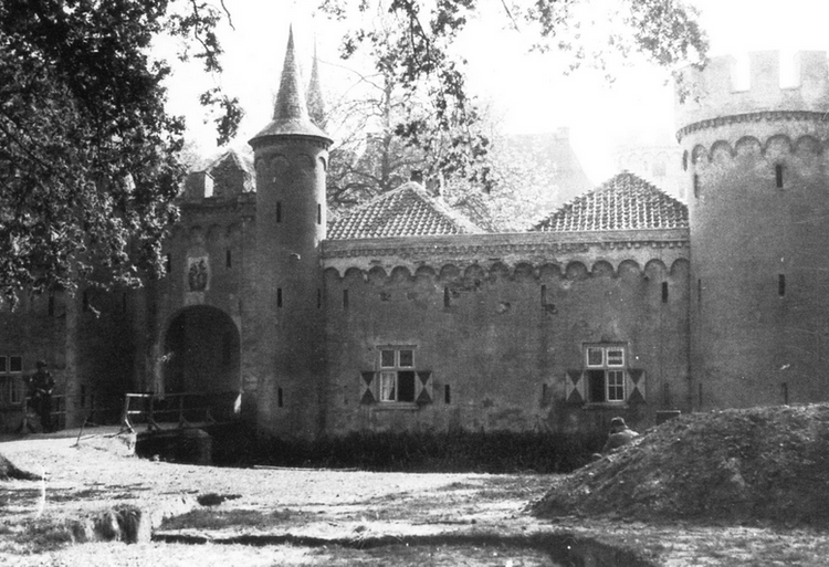
Henkenshage Castle
During Operation Market Garden, the castle became General Taylor’s headquarters for the 101st Airborne Division.
Airborne Monument
This monument is located in the side wall of the former Sint-Oedenrode town hall. It was established in memory of the eleven paratroopers of the 101st Airborne Division who died during the liberation and defence of Sint-Oedenrode. The Airborne monument wa
End point:
Waypoint walk 29
Sint-Oedenrode
Navigate to endpoint
- 62
- 63
- 65
- 90
- 88
- 39
- 36
- 04
- 29
- 27
- 21
- 82
- 51
- 50
- 76
- 75
- 66
- 81
- 84
- 22
- 20
- 07
- 08
- 09
- 32
- 56
- 70
- 74
- 12
- 10
- 13
- 14
- 39
- 38
- 15
- 16
- 17
- 37
- 36
- 35
- 29
-
Tips for a sustainable weekend away or day out in North Brabant
Does travelling actually fit within a sustainable lifestyle? Yes, it does! Often, small adjustments can make a huge difference.
-
A cultural city trip: Breda and surrounding area
Breda is a city filled with unique stories, some of which you will learn about during this two-day trip.
-
From monastery gardens to drifting sand dunes: a 5-day motorhome road trip through the Van Gogh National Park
Hike and cycle through Van Gogh National Park on a 5-day east–west route. Discover nature, local flavours, and stories, with welcoming motorhome stops near monasteries, castles, woods, dunes, and lively Brabant towns.
-
Reflection and wonder on a two-day walking trail
For centuries, Brabant’s countryside has inspired monks and Van Gogh. Follow their footsteps on a 2-day walk past monasteries, abbeys, and the Oisterwijk Forests & Fens, with a night in the peaceful countryside.
-
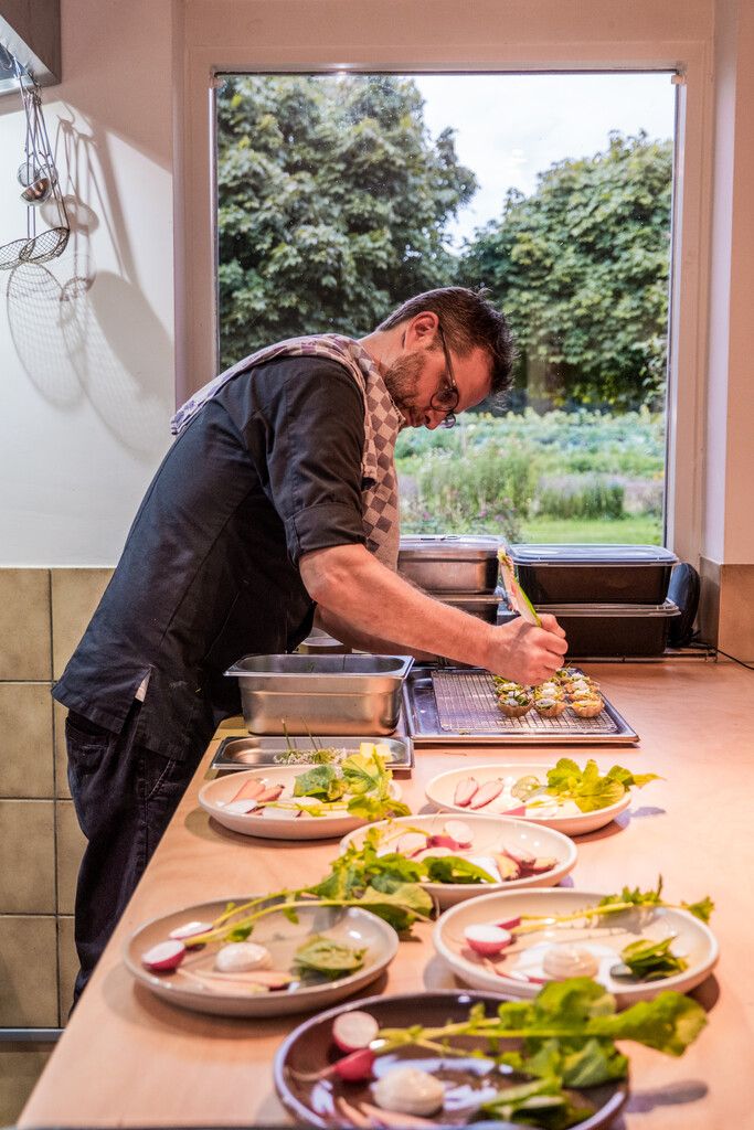
A weekend for slowing down in North Brabant
Two days of wandering through monasteries, castles, forts and fortified cities with plenty of time along the way for culinary enjoyment at creative food hotspots – this is possible in North Brabant.
-
A long weekend of surprises in the heart of Brabant
Allow yourself three days to be amazed by a part of North Brabant between Tilburg and Esbeek, close to the Belgian border.
-
5 times UNESCO in North Brabant
UNESCO is best known for the World Heritage List. But UNESCO also recognises heritage in other areas, which means you will encounter UNESCO sites also in North Brabant.
-
Slow travel along the best parts of the Land van de Peel
A region where the heart beats to the unmistakable Brabant hospitality, individuality, and passion for enjoying life in a way that only the people of Brabant know how to do.
-
6 places in North Brabant to go winter camping: A unique adventure
Winter camping is an exciting and unique experience. Nature has gone into a deep sleep and, at the campsite itself, you can enjoy the silence around you.
-
A weekend in the wilderness of De Biesbosch National Park
Would you like to wake up to a nature reserve in your front yard? Or go on a city trip with a city campsite as your homebase? A holiday or weekend away with your motorhome is never a problem in North Brabant.