Walking route 1: Bergeijk – Waalre | Operation Market Garden route
Walk in the liberators’ footsteps around Bergeijk and Waalre.

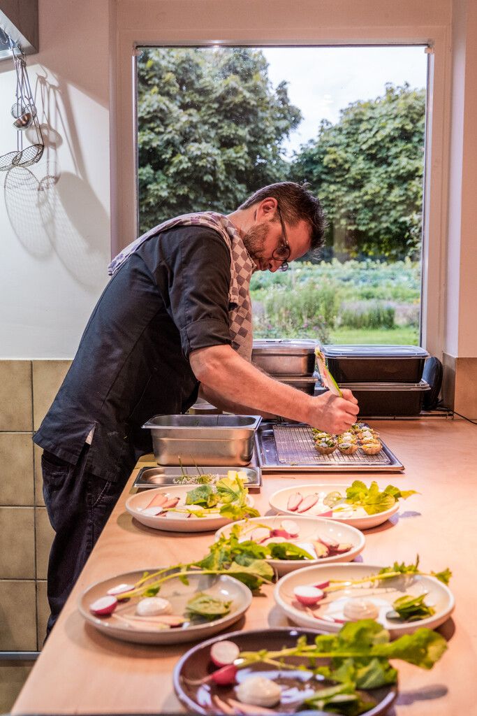
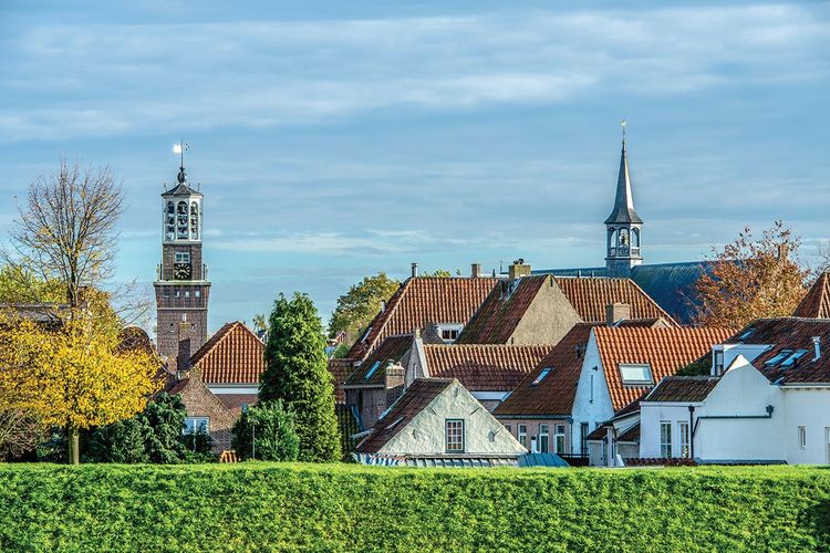
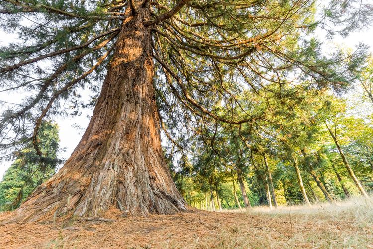
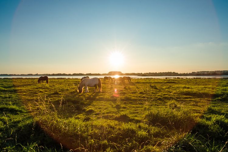
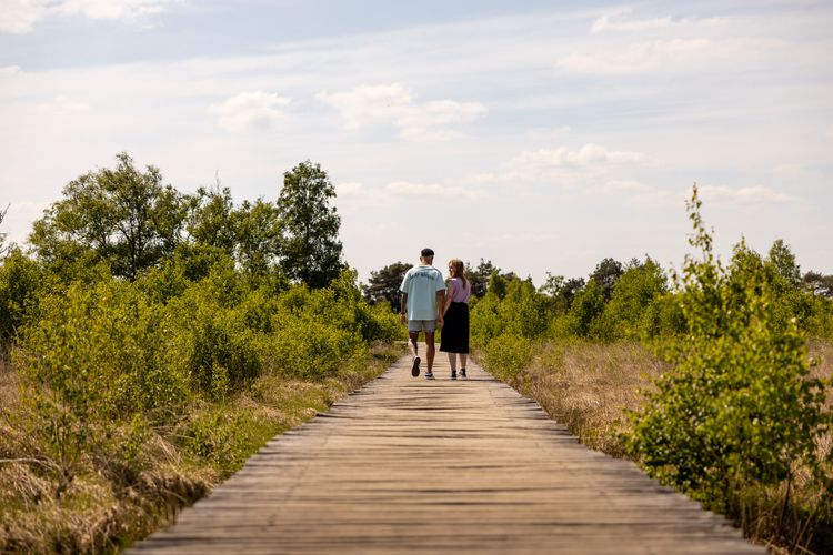
Show all 5 photos


This 26 km section will take you along the first section of the route taken by the liberators on Dutch soil. The Liberation Route Brabant tells the story of the liberation, but also recounts what the Second World War meant to everyday Brabant folk. The total route is 125 kilometres long and is divided into five sections. The route passes along the Airborne Footpath which tells the story of Operation Market Garden. Roads and bridges had to be captured to circumvent the Siegfried Line via Arnhem to enable the Allied forces to advance on Berlin.
The route takes you past historic locations which are typified by courage, sorrow, fear and hope. Soldiers, local inhabitants, refugees and occupying forces saw their lives change here. You can only imagine what happened during the war in North Brabant and especially in these places.
Walking in the liberators’ tracks.
The Liberation Route Brabant tells the story of the liberation, but also recounts what the Second World War meant to everyday Brabant folk.
-
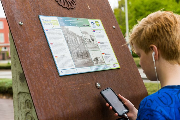
Liberation Route Brabant direction signs
Follow the 'Liberation Route' signs. These are hanging under the regular junction signs.
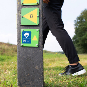
Liberation Route Brabant direction signs
Follow the 'Liberation Route' signs. These are hanging under the regular junction signs.

-
Hotline routes
Hotline routesIf there is something wrong on the route, report it here.
Tips from Brabant residents
Skip map elementsLocations on this route
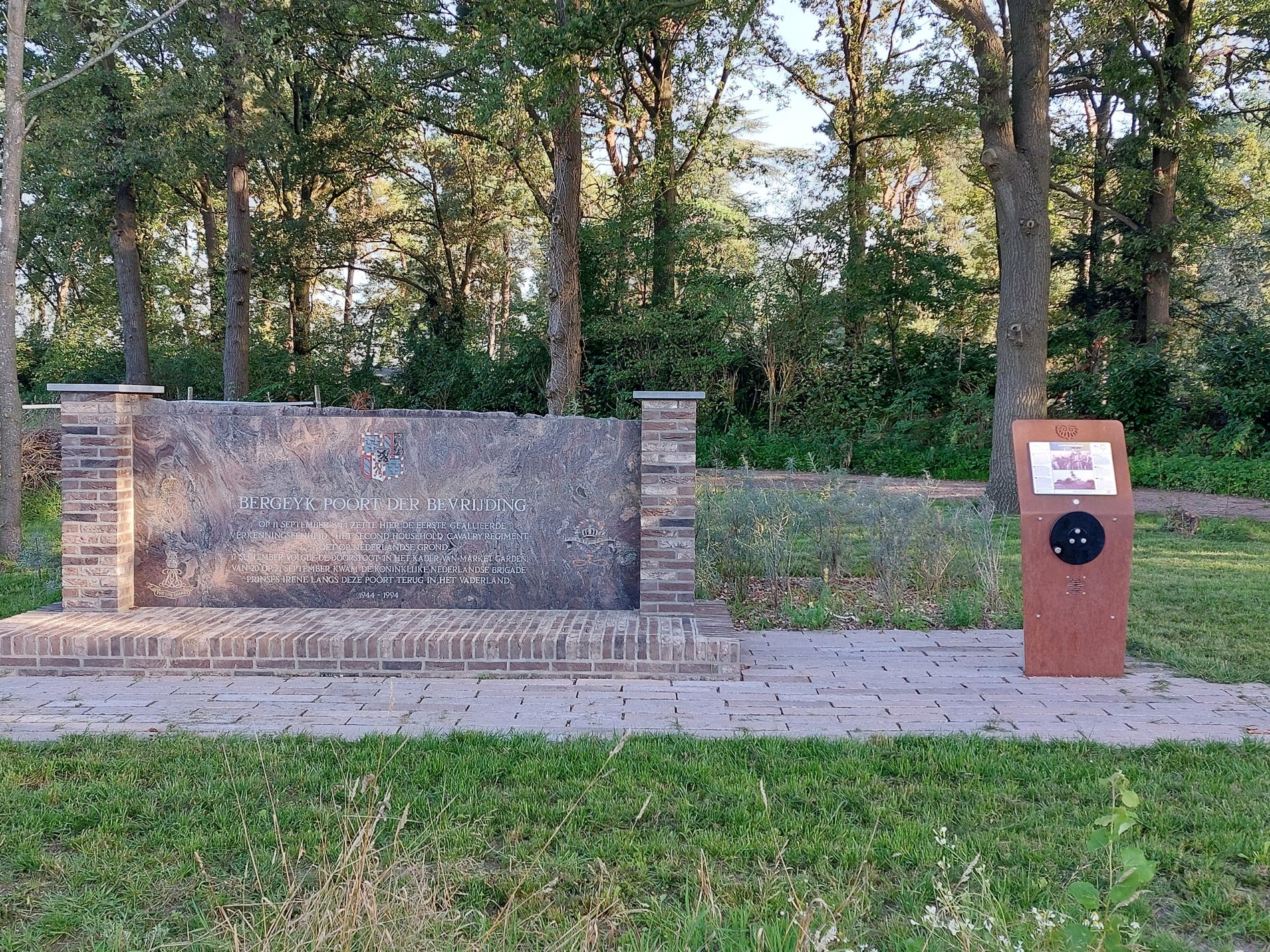
Poort der Bevrijding (Liberation Gate)
The Bergeijk Liberation Gate Monument is located at De Barrier border crossing where the first liberators passed through on 11 September 1944.
Barrier5571 TV Bergeijk
Navigate to starting point

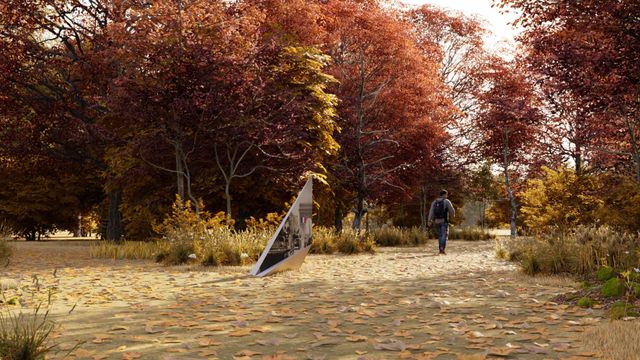
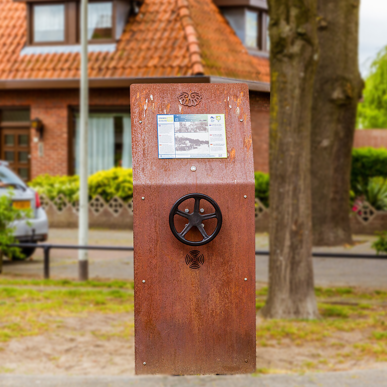
Listening Post – Into an Ambush
Listening post with the story of the British army corps that drove into an ambush.

Listening Post – Into an Ambush
Listening post with the story of the British army corps that drove into an ambush.
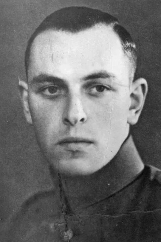
"Not long after crossing the border, the tanks of the British XXX Corps drive into an ambush. The advance that begins on September 17, 1944, intended to reach Arnhem quickly, comes to a halt not far from here for the first time. Fierce battles follow, and valuable time is lost. A week earlier, a very different tragedy had taken place here."
This text has been translated using AI.

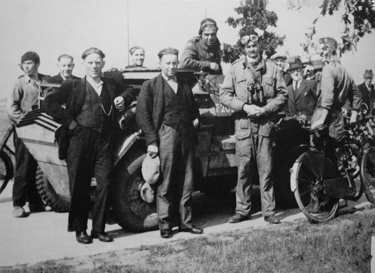
Former Border Crossing Bergeijkse Barrière
"The Tommies are at the Bergeijkse Barrière!" The news spreads quickly through the village. The 54-year-old Jan Maas hears it too.
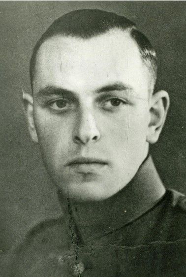
Air crash in Bergeijk
A Wellington HZ520 crashed on the Borkelsedijk in Bergeijk on 22 June 1943.
Listening Post – A beer for the liberation
As early as September 11, British scouts were in the area. They raced through the Brabant countryside in fast vehicles, tasked with assessing whether the bridge over the Dommel could support tanks.

Listening Post – A beer for the liberation
As early as September 11, British scouts were in the area. They raced through the Brabant countryside in fast vehicles, tasked with assessing whether the bridge over the Dommel could support tanks. At this café, which at the time was called Rustoord, they were invited to have a beer to a hopefully swift liberation.
This text has been translated using AI.
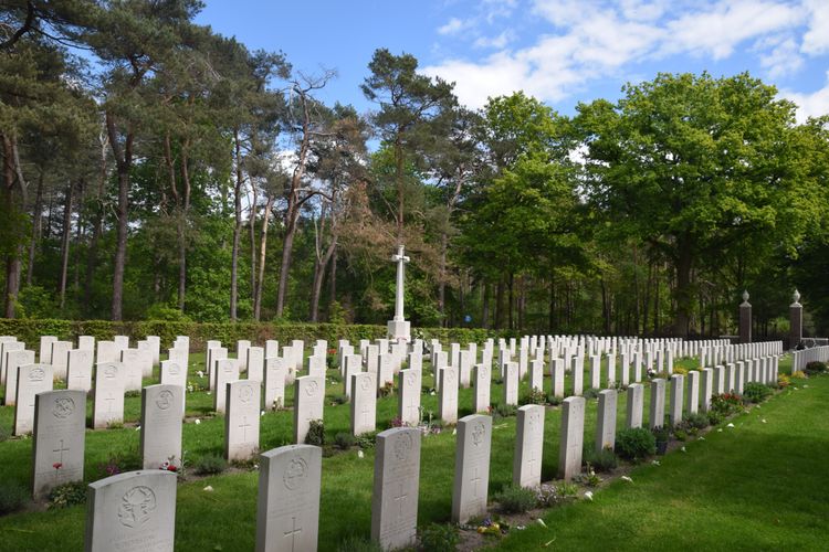
British Military Cemetery
The Valkenswaard War Cemetery contains about 220 graves of British soldiers who lost their lives.
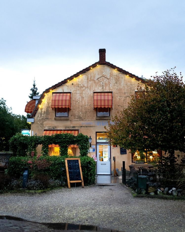
The Suykerbuyck Family Pancake House
A cosy pancake house with a large terrace and an even larger playground. Situated directly on the Malpie nature reserve, where you can go hiking, cycling, horse riding and canoeing.
A fatal delay
It is already evening and the British decide to spend the night in Valkenswaard. In light of the further course of Operation Market Garden, this may prove to be a fatal delay.

A fatal delay
Valkenswaard is liberated on September 17. The village has suffered a great deal under allied bombardments and air raids. Many houses are on fire and there are many deaths to be regretted. But the people of Valkenswaard greet their liberators with great enthusiasm. It is already evening and the British decide to spend the night in Valkenswaard. In light of the further course of Operation Market Garden, this may prove to be a fatal delay.

End point:
Waypoint walk 79
Waalre
Navigate to endpoint
- 11
- 10
- 12
- 80
- 81
- 83
- 84
- 88
- 58
- 90
- 05
- 68
- 08
- 63
- 84
- 37
- 04
- 81
- 36
- 34
- 40
- 39
- 38
- 75
- 76
- 2
- 79
Route features
-
8 things to do with children in North Brabant
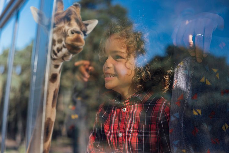
North Brabant is a location that draws you closer to those unforgettable moments with the entire family. Will you choose a swimming paradise, an amusement park or a childproof museum? Plan your ideal family outing in the Netherlands in North Brabant.
-
7 places to go in the Brabant countryside with children
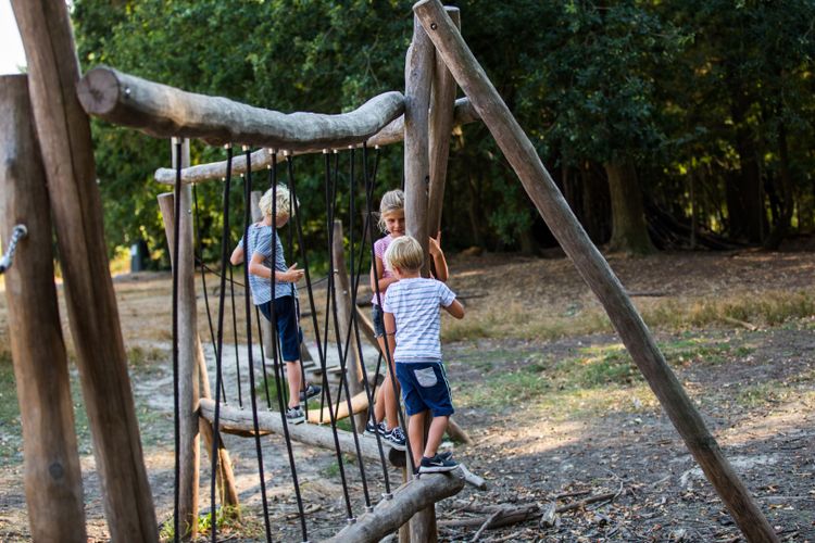
Adventure is there for the taking in the Brabant countryside. Getting some exercise, playing and being outdoors means quality time with the whole family. Follow fun children’s routes and gnome paths together.
-
Tips for a sustainable weekend away or day out in North Brabant
Does travelling actually fit within a sustainable lifestyle? Yes, it does! Often, small adjustments can make a huge difference.
-
A cultural city trip: Breda and surrounding area
Breda is a city filled with unique stories, some of which you will learn about during this two-day trip.
-
From monastery gardens to drifting sand dunes: a 5-day motorhome road trip through the Van Gogh National Park
Hike and cycle through Van Gogh National Park on a 5-day east–west route. Discover nature, local flavours, and stories, with welcoming motorhome stops near monasteries, castles, woods, dunes, and lively Brabant towns.
-
Reflection and wonder on a two-day walking trail
For centuries, Brabant’s countryside has inspired monks and Van Gogh. Follow their footsteps on a 2-day walk past monasteries, abbeys, and the Oisterwijk Forests & Fens, with a night in the peaceful countryside.
-
A weekend for slowing down in North Brabant
Two days of wandering through monasteries, castles, forts and fortified cities with plenty of time along the way for culinary enjoyment at creative food hotspots – this is possible in North Brabant.
-
A long weekend of surprises in the heart of Brabant
Allow yourself three days to be amazed by a part of North Brabant between Tilburg and Esbeek, close to the Belgian border.
-
5 times UNESCO in North Brabant
UNESCO is best known for the World Heritage List. But UNESCO also recognises heritage in other areas, which means you will encounter UNESCO sites also in North Brabant.
-
Slow travel along the best parts of the Land van de Peel
A region where the heart beats to the unmistakable Brabant hospitality, individuality, and passion for enjoying life in a way that only the people of Brabant know how to do.