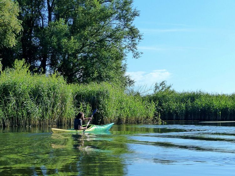
Walking route 2: Waalre – Eindhoven | Liberation Route Brabant
Discover the area around Waalre and Eindhoven where the first paratroopers appeared
Starting point: from your location
Show all 4 photos
You will be one of the first paratroopers to set foot on land in the area around Eindhoven… This 27-kilometre section will take you along the second part of the route taken by the liberators on Dutch soil. The Liberation Route Brabant tells the story of the liberation, but also recounts what the Second World War meant to everyday Brabant folk. The total route is 125 kilometres long and is divided into five sections. The route passes along the Airborne Footpath which tells the story of Operation Market Garden. Roads and bridges had to be captured to circumvent the Siegfried Line via Arnhem to enable the Allied forces to advance on Berlin.
The route takes you past historic locations which are typified by courage, sorrow, fear and hope. Soldiers, local inhabitants, refugees and occupying forces saw their lives change here. You can only imagine what happened during the war in North Brabant and especially in these places.
About this route
This wal…
You will be one of the first paratroopers to set foot on land in the area around Eindhoven… This 27-kilometre section will take you along the second part of the route taken by the liberators on Dutch soil. The Liberation Route Brabant tells the story of the liberation, but also recounts what the Second World War meant to everyday Brabant folk. The total route is 125 kilometres long and is divided into five sections. The route passes along the Airborne Footpath which tells the story of Operation Market Garden. Roads and bridges had to be captured to circumvent the Siegfried Line via Arnhem to enable the Allied forces to advance on Berlin.
The route takes you past historic locations which are typified by courage, sorrow, fear and hope. Soldiers, local inhabitants, refugees and occupying forces saw their lives change here. You can only imagine what happened during the war in North Brabant and especially in these places.
About this route
This walking route has been created by VisitBrabant Routebureau in association with Brabant Remembers. The route is marked out using the Brabant numbered junction system. Simply walk from one numbered junction to the next. The route between the junctions is marked by arrows. If there is anything wrong with the signposting along this route, please report this on visitbrabant.com/meldpunt You can also call us on +31(0)800 4050050.
Route map
You can view this route page on your telephone or download the GPX file. If you prefer to go on the walk using a paper map, you can order one in our webshop.
Walking in the liberators’ tracks.
The Liberation Route Brabant tells the story of the liberation, but also recounts what the Second World War meant to everyday Brabant folk. View all the other Liberation cycle and walking routes here.
-
Liberation Route Brabant direction signs
Follow the 'Liberation Route' signs. These are hanging under the regular junction signs.
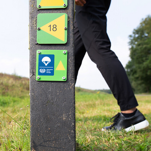
Liberation Route Brabant direction signs
Follow the 'Liberation Route' signs. These are hanging under the regular junction signs.

-
Hotline routes
Hotline routesIf there is something wrong on the route, report it here.
Sights on this route
Starting point:
Waypoint walk 79
Waalre
Navigate to starting point
Waypoint walk 79
Waalre
Navigate to starting point
A new haircut
The British Army is again halted beyond Aalst on September 18. A battery of German guns fires on the column.
Starting point:
RaadhuisstraatAalst
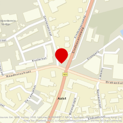
A tank too many
Because the advancing route of the British is still under German attack and the column is constantly being forced to halt, the Allies seek alternative routes for their tanks and other equipment.
Starting point:
Veldhoven
The bombing of September 19, 1944
Liberation comes to the people of Eindhoven on 18 September 1944. They celebrate exuberantly.
Starting point:
BiesterwegEindhoven
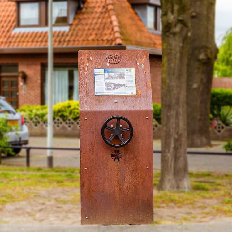
A tragic mistake
On September 18, American paratroopers enter Eindhoven. They liberate the city.
Starting point:
Eindhoven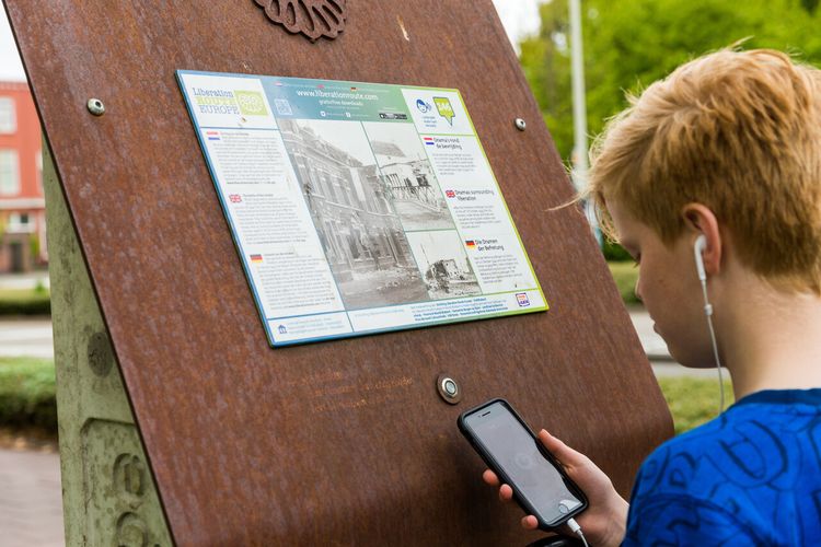
A paratrooper in Eindhoven
On September 18, 1944, American paratroopers make contact with British ground troops at this church.
Starting point:
StratumsedijkCentrum
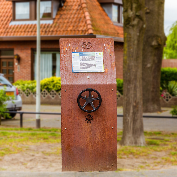
The cold-blooded gardener
On September 19, the Germans launch a counterattack from Nuenen against the British, who are advancing towards Arnhem.
Starting point:
SoeterbeeksewegNuenen
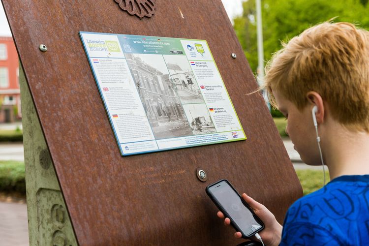
Snipers and guns
The Americans encounter some German resistance when they capture Eindhoven, but they take the city fairly quickly. Here in Vlokhoven, a German sniper has the troops under fire and claims several victims.
Starting point:
PachtakkerWoensel-Noord
End point:
Waypoint walk 62
Son
Navigate to endpoint
Waypoint walk 62
- 79
- 78
- 45
- 43
- 49
- 03
- 02
- 01
- 58
- 74
- 72
- 72
- 70
- 92
- 28
- 27
- 25
- 21
- 85
- 84
- 86
- 76
- 40
- 75
- 96
- 95
- 20
- 97
- 64
- 62

