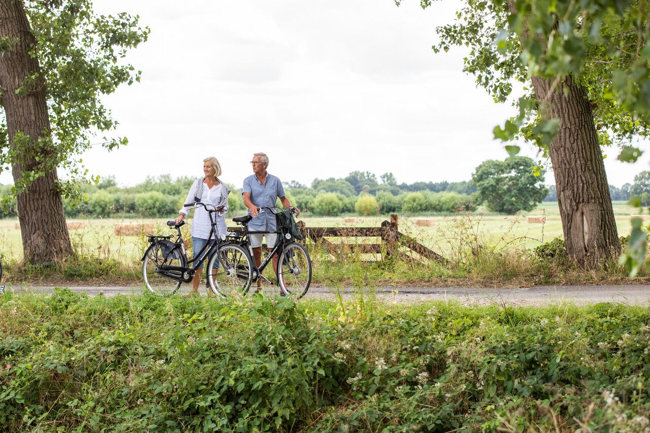
Strategic Battlefield cycle route | Liberation Route Brabant
This route is located in the municipality of Landerd for the most part.
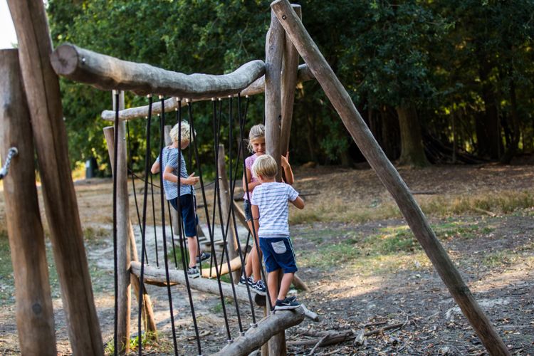
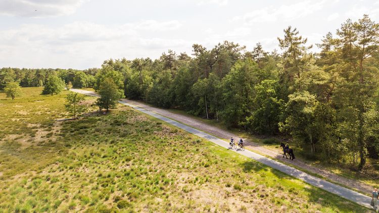
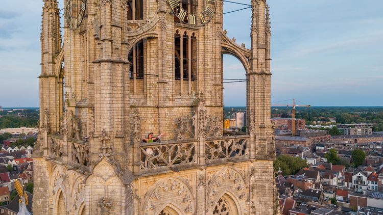
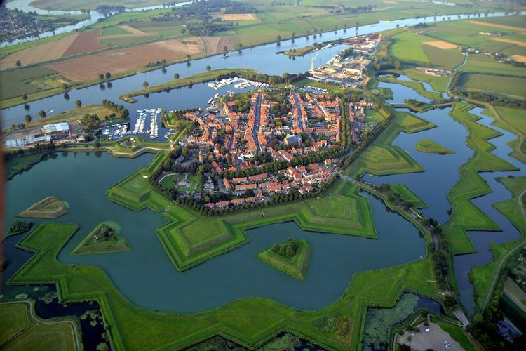
Show all 4 photos


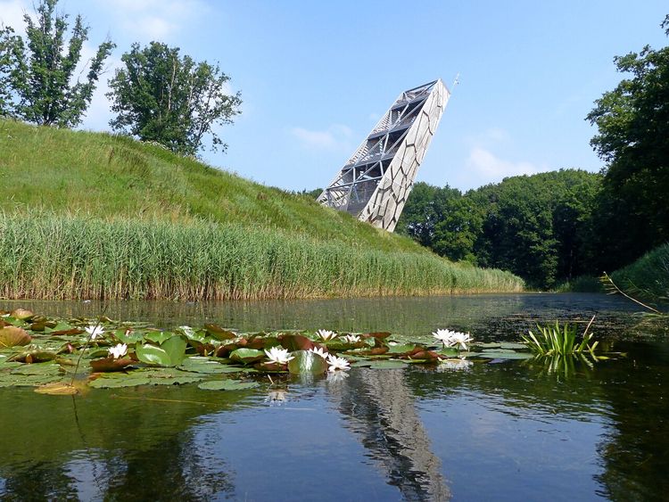
This route is located in the municipality of Landerd for the most part. Here, airports, crashed aircraft and Operation Market Garden play an important role in the stories and experiences of the residents. An area that had a turbulent history at both the beginning and the end of the Second World War. From the Germans who bombarded the casemates in 1940, to the Allies who - with the help of heroic inhabitants - tried to hastily cross the area in 1944.
Liberation Route Brabant
The Liberation Route Brabant tells the story of the liberation, but also shows what the Second World War was like for ordinary people who lived in Brabant at the time. Eight cycling routes, spread across North Brabant, lead you past the Brabant Remembers stories, the Liberation Route Europe audio columns, monuments and museums. Together they make the impact of the war on North Brabant clear, even all these years later.
-
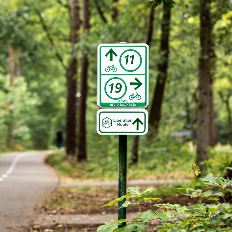
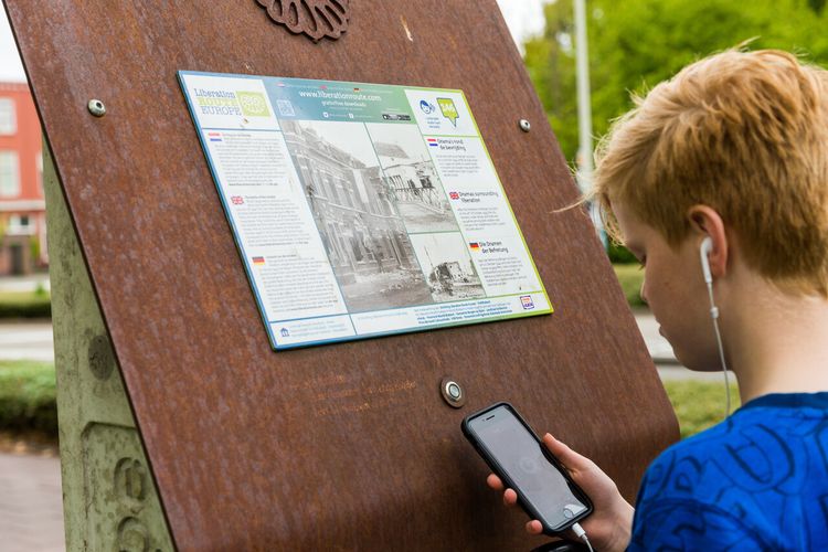
Signposting Liberation Route Brabant
Follow the signs marked ‘Liberation Route’. These are located below the regular junction signs.

Signposting Liberation Route Brabant
Follow the signs marked ‘Liberation Route’. These are located below the regular junction signs.
-
Hotline routes
Hotline routesIf there is something wrong on the route, report it here.
Tips from Brabant residents
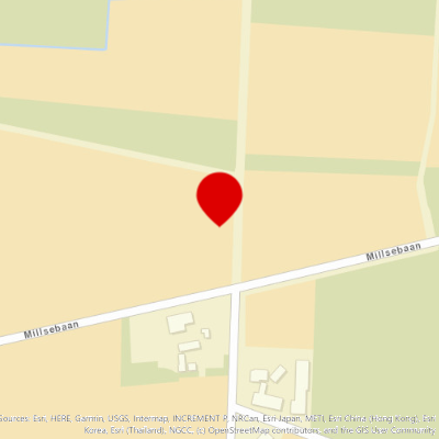
Skip map elementsLocations on this route
Memorial for Peace, Freedom and Responsibility
This monument in Schaijk, unveiled on 21 September 2008, was established by the Foundation Vier Vrijheid Schaijk.
schaijkNavigate to starting point
Keent Airfield
Keent Airfield had been used by the army and navy for more than a decade before the Second World War. The airfield proved to be a good addition to Volkel air base for the Germans during the war.
Silhouette of a Farmer’s Wife
A farmer’s wife sees a twin-engine British bomber flying low, followed by German night fighters. That does not bode well…
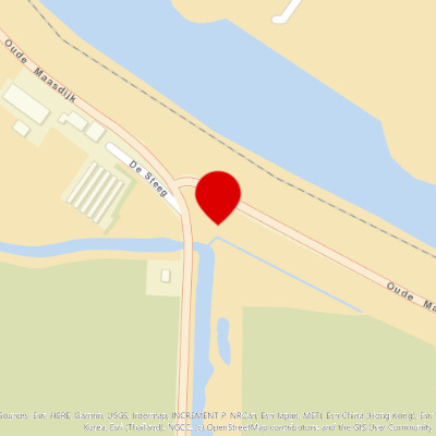
Marker Stone for the Amphibious Vehicle Accident
On 22 September 1944, a heavily loaded amphibious vehicle capsized while turning on the narrow Meuse dike.
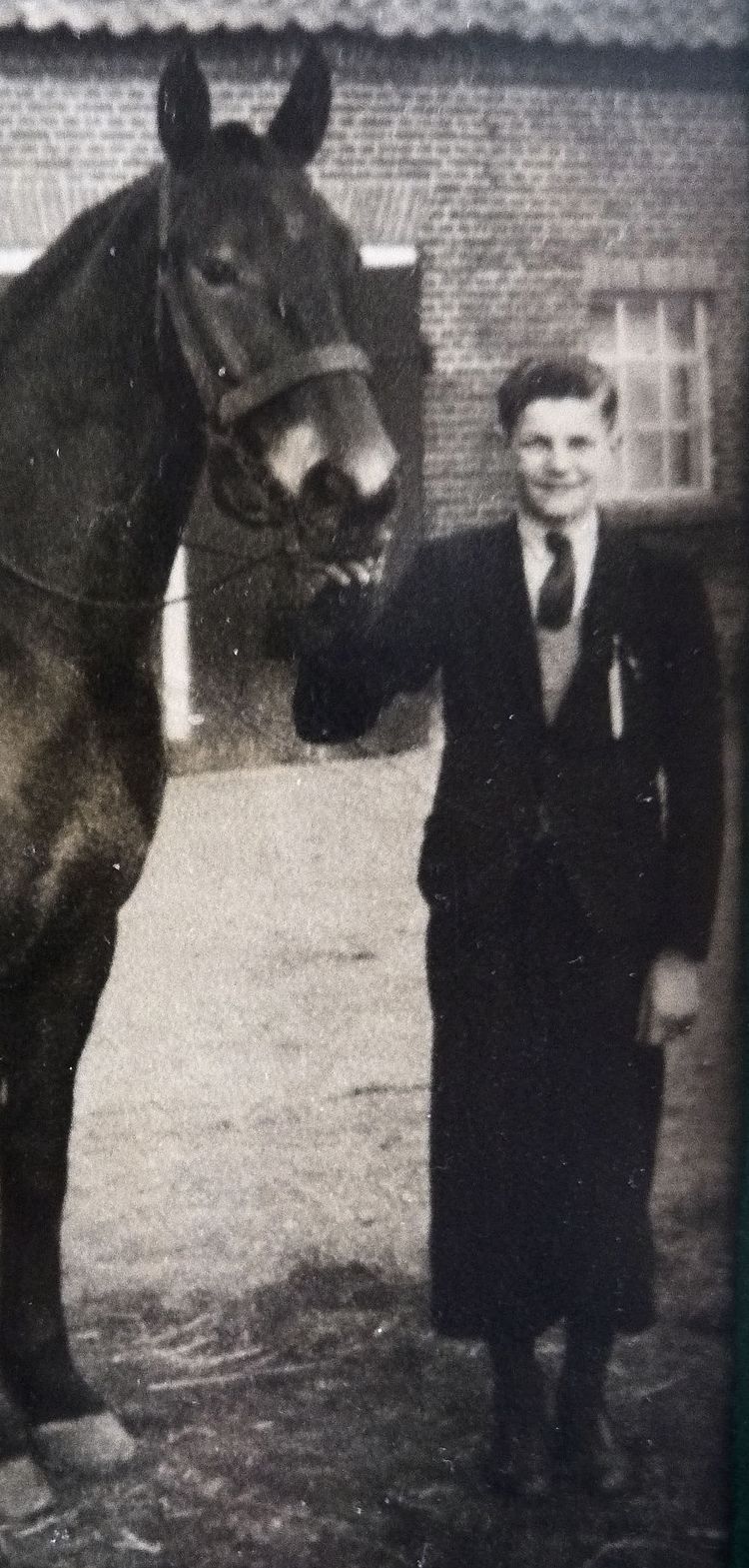
An Angel on the Shoulder
Near Reek lives the fifteen-year-old seminarian Wim Boeijen. When he sees Allied troops at the Toll, he makes a life-threatening choice...
Monument De Beschermengel
The liberation monument De Beschermengel (The Guardian Angel) reminds us of the turbulent times experienced during the liberation. Made by the artist Johan Claasen from Gemert, it portrays a guardian angel or a winged guardian spirit. The tall figure has
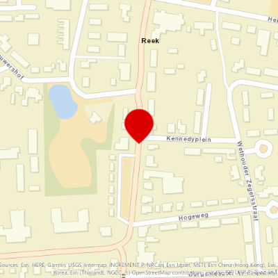
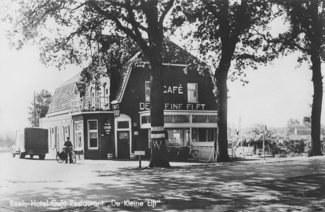
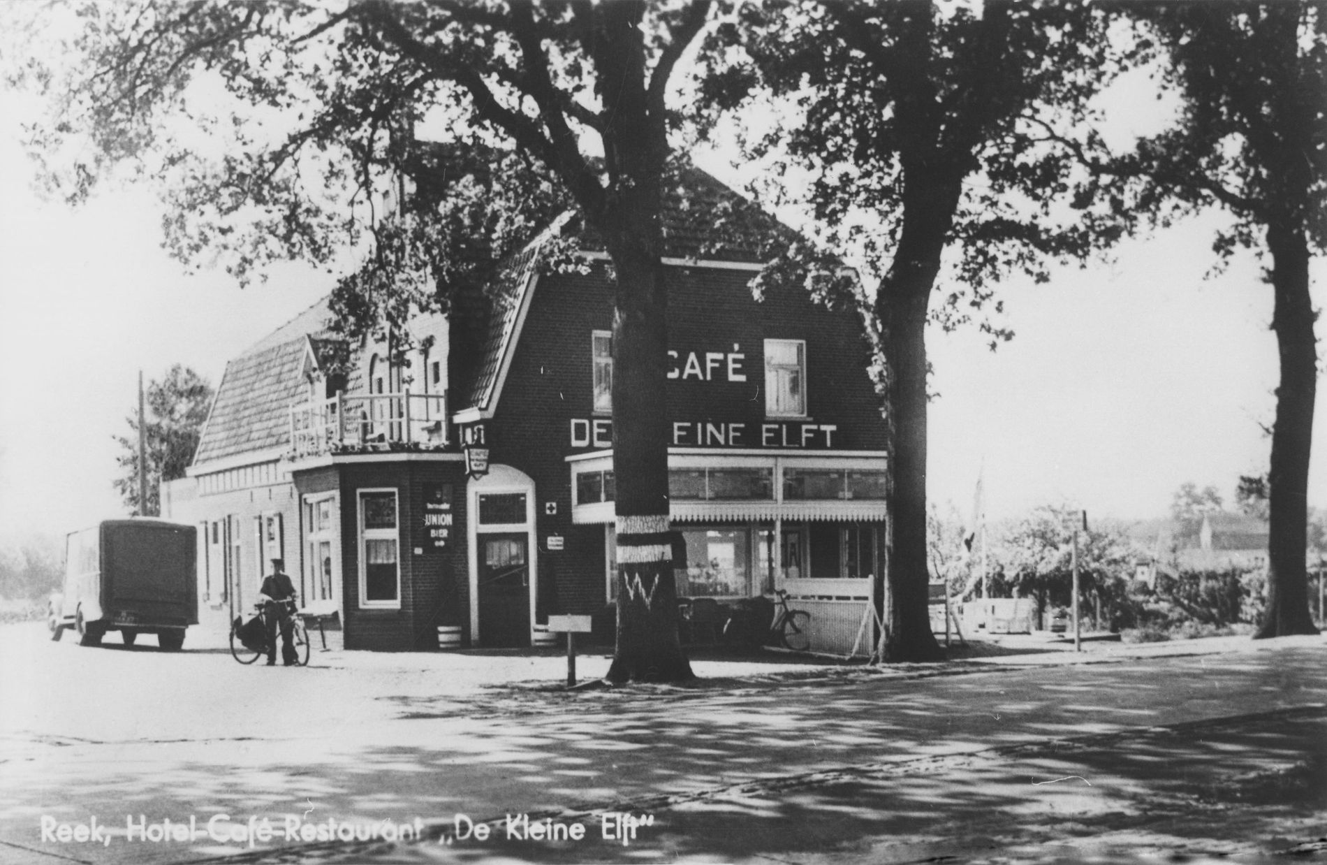
De kleine Elft
After the airborne landings of September 17, the inhabitants of Reek near Grave are awaiting the liberators.
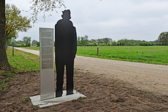
Silhouette of a Fifteen-Year-Old Boy
Full of expectation about the approaching liberation and drawn to the military columns, a fifteen-year-old boy goes with his father to the hotel-café De Kleine Elft.
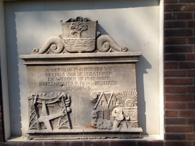
Facade Stone Expansion of Fliegerhorst Volkel
On 24 July 1941, the residents of several farms in Zeeland received a letter from the municipality, signed by Mayor Van Hesteren.
War Graves of the Dakota Pilots
Chased by German fighter planes, Dakota KG579 sped across North Brabant on 21 September 1944 with its right engine in flames.
Dear Mrs. Webb
During Operation Market Garden, numerous air battles take place above the operations area and on the approach routes, during which planes are shot down and crash on Dutch territory.
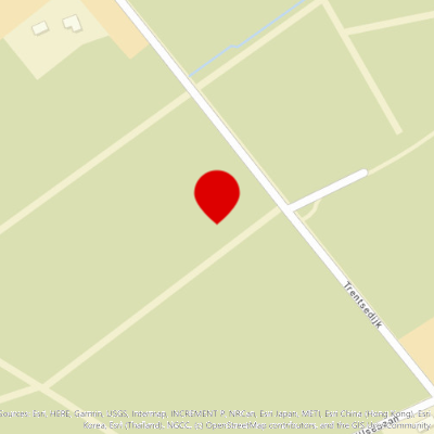
Bomb Crater in the Trentse Bossen woods
Volkel Air Base was an alternative base for German night-flying operations from Eindhoven and Gilze-Rijen. For this reason it was regularly hit by Allied bombing missions. But the damage was repairable, at least until the attacks prior to Operation Market
Silhouette of a Resident – “Duits Lijntje”
In May 1940, in the middle of the night, the resident was awakened by the screeching brakes on the railway track behind her house. Even though trains had already stopped running there in 1931.
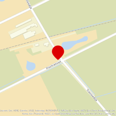
Air Base Volkel
The German occupiers began with the construction of the Nachtlandeplatz (night landing strip) Volkel here at the beginning of the Second World War. The Luftwaffe were to use the airfield as an alternative base for night-time operations. In 1943 it was ext
Silhouette of an English Navigator
During Operation Market Garden, the Royal Air Force tried to resupply the encircled Airborne Division.
Marker Stone for the Crashed Dakota
After a supply flight on 21 September 1944, a British Dakota of the 48th RAF Squadron was on its way back to England.
Marker Stone for the Crashed Messerschmitt
At this place, on 21 February 1945, a German Messerschmitt jet fighter crashed.
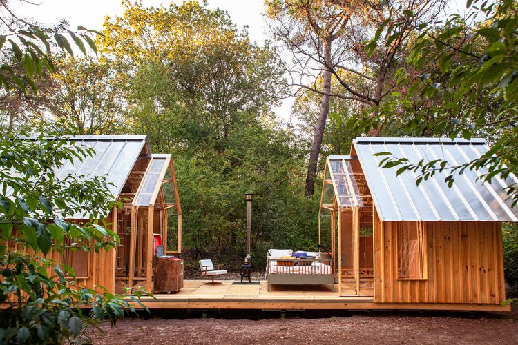
Charme Camping Hartje Groen & De Boshut
Nestled in the woods, in the heart of De Maashorst, the largest contiguous nature reserve in Brabant, is Charme Camping Hartje Groen & De Boshut.
Memorial for Peace, Freedom and Responsibility
This monument in Schaijk, unveiled on 21 September 2008, was established by the Foundation Vier Vrijheid Schaijk.
schaijkNavigate to endpoint
- 62
- 59
- 32
- 19
- 20
- 31
- 30
- 37
- 46
- 38
- 88
- 96
- 41
- 63
- 62
- 94
- 40
- 92
- 91
- 66
- 4
- 3
- 60
Route features
-
7 places to go in the Brabant countryside with children
Adventure is there for the taking in the Brabant countryside. Getting some exercise, playing and being outdoors means quality time with the whole family. Follow fun children’s routes and gnome paths together.
-
From city to silence: a four-day cycling trip through North Brabant
Make sure your e-bike is fully charged and get ready for a four-day cycling holiday with plenty of delicious spots to take a break.
-
A cultural city trip: Breda and surrounding area
Breda is a city filled with unique stories, some of which you will learn about during this two-day trip.
-
From monastery gardens to drifting sand dunes: a 5-day motorhome road trip through the Van Gogh National Park
Hike and cycle through Van Gogh National Park on a 5-day east–west route. Discover nature, local flavours, and stories, with welcoming motorhome stops near monasteries, castles, woods, dunes, and lively Brabant towns.
-
A long weekend of surprises in the heart of Brabant
Allow yourself three days to be amazed by a part of North Brabant between Tilburg and Esbeek, close to the Belgian border.
-
5 times UNESCO in North Brabant
UNESCO is best known for the World Heritage List. But UNESCO also recognises heritage in other areas, which means you will encounter UNESCO sites also in North Brabant.
-
Slow travel along the best parts of the Land van de Peel
A region where the heart beats to the unmistakable Brabant hospitality, individuality, and passion for enjoying life in a way that only the people of Brabant know how to do.
-
Cycling in the footsteps of Philips and Van Gogh in Eindhoven
Anyone exploring North Brabant will sooner or later follow in the footsteps of local icons. These are sure to include the Philips brothers and Vincent van Gogh, the master painter.
-
Cycling past the highlights of the Brabantse Wal
Sandwiched between Zeeland and the Belgian border lies the Brabantse Wal or Brabant Ridge – an area where the higher sandy ground merges into polders of marine clay soil. Let's explore this area by bicycle starting in the historic city, Bergen op Zoom.
-
A weekend of Van Gogh and New Dutch
Innovative, persistent and just a bit of a rebel. Immerse yourself for a whole weekend in New Dutch in Eindhoven and cycle in the footsteps of Van Gogh to picturesque Nuenen.