
De Liesselse Bossen mountain-biking route
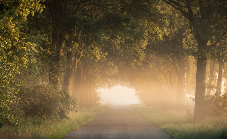
Scenically, this route is the most beautiful in the Deurne region.
Difficulty level
- Easy
- Moderate
- Difficult
- Very difficult
-
Wide roads and paths with a sand or gravel surface. The main route contains no technical elements, but may include gentle climbs and descents.
-
Includes single tracks in addition to wide paths. The main route has at most one technical element. Parallel paths may be more difficult and are then marked as red or black.
-
The main route contains several technical elements, such as steep descents, tree roots, rock gardens, jumps and drops up to 40 cm. Good technique and control are required.
-
The most difficult routes with very challenging technical elements, such as large rock gardens, gap jumps, high drops and sharp switchbacks. Quick reactions, choosing the right speed and full control are essential.
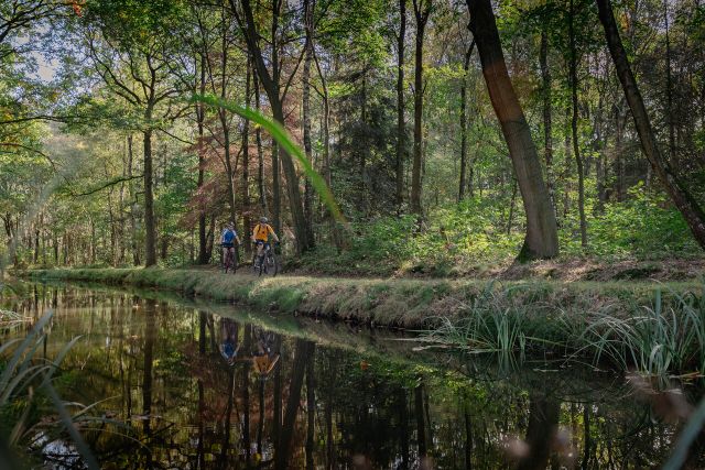
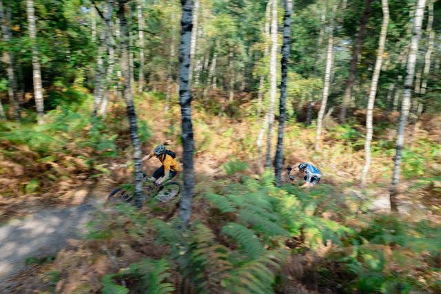

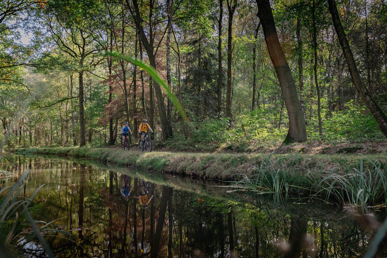
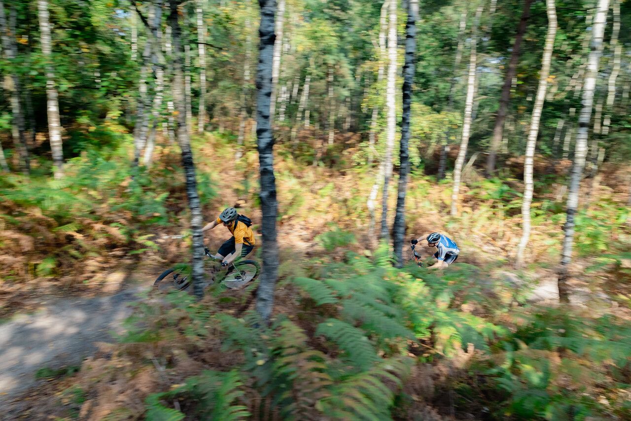
The route passes through the Liesselse bossen woodland area, a characteristic Brabant wood. A special section can be found at the Oude Aa, which winds through the woodland, with the riparian vegetation offering up plenty of variety. Follow the loop a few hundred metres upstream, along the Berktsedijk, and you will notice how the terrain begins to rise. 100 metres away, two weirs have been placed in the stream, resulting in a difference in elevation of more than two metres. You will be able to see the Peel boundary fault clearly here. This wood is also home to the Galgenberg, a clearing that was once use to hang convicts from a gallows as a deterrent. The route encompasses many winding and technical sections, and ample use has been made of the differences in elevation that the area has to offer.
Level
De Liesselse Bossen mountai…
The route passes through the Liesselse bossen woodland area, a characteristic Brabant wood. A special section can be found at the Oude Aa, which winds through the woodland, with the riparian vegetation offering up plenty of variety. Follow the loop a few hundred metres upstream, along the Berktsedijk, and you will notice how the terrain begins to rise. 100 metres away, two weirs have been placed in the stream, resulting in a difference in elevation of more than two metres. You will be able to see the Peel boundary fault clearly here. This wood is also home to the Galgenberg, a clearing that was once use to hang convicts from a gallows as a deterrent. The route encompasses many winding and technical sections, and ample use has been made of the differences in elevation that the area has to offer.
Level
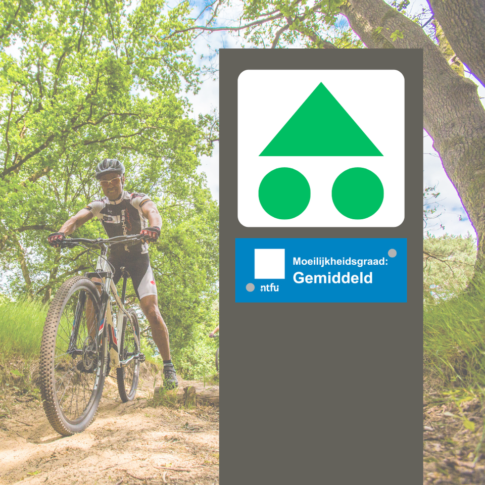
De Liesselse Bossen mountain-biking route is a blue route: medium. Blue routes are suitable for the average recreational mountain biker or sporty gravel biker. These riders will know how to brake and to change gear and will look far enough ahead to be able to assess the risks. The route is classified by the NTFU.
About the route
This route is maintained by volunteers from the VisitBrabant Route Office. If you find something wrong with the signage or the route itself, please notify us at our Hotline.
Mountain biking in Brabant
Enjoy a continuous international network of mountain-biking routes in Brabant covering more than 1,000 kilometres in total. There are also a number of ‘standalone’ mountain-biking routes – for advanced bikers AND beginners alike. See the most enjoyable mountain-biking routes in Brabant here.
-
Hotline routes
Hotline routesIf there is something wrong on the route, report it here.
from Brabant residents
Skip map elementsLocations on this route
-
Start point:
Parkeerterrein Sportpark De Smeltkroes
Hoekseweg 2
5757 SK Liessel
Navigate to starting point
-
7 places to go in the Brabant countryside with children
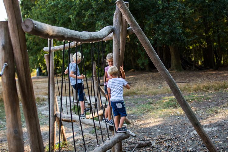
Adventure is there for the taking in the Brabant countryside. Getting some exercise, playing and being outdoors means quality time with the whole family. Follow fun children’s routes and gnome paths together.
-
From city to silence: a four-day cycling trip through North Brabant
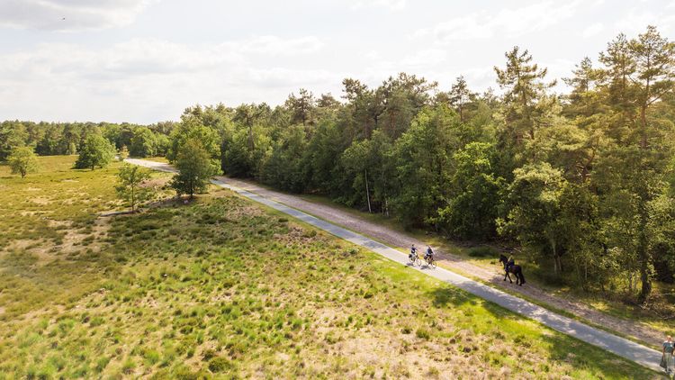
Make sure your e-bike is fully charged and get ready for a four-day cycling holiday with plenty of delicious spots to take a break.
-
A cultural city trip: Breda and surrounding area
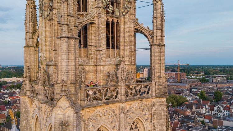
Breda is a city filled with unique stories, some of which you will learn about during this two-day trip.
-
From monastery gardens to drifting sand dunes: a 5-day motorhome road trip through the Van Gogh National Park
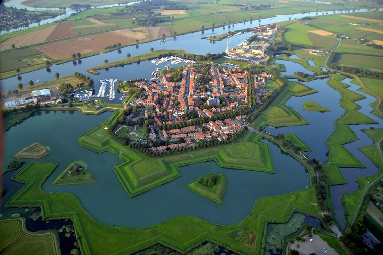
Hike and cycle through Van Gogh National Park on a 5-day east–west route. Discover nature, local flavours, and stories, with welcoming motorhome stops near monasteries, castles, woods, dunes, and lively Brabant towns.
-
A long weekend of surprises in the heart of Brabant
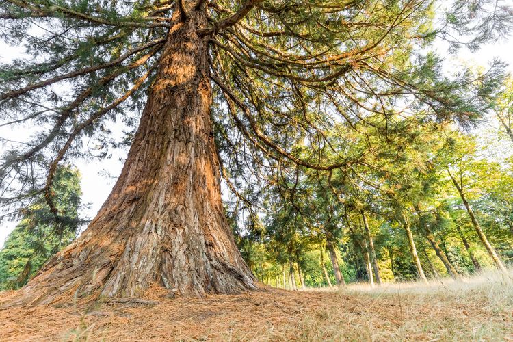
Allow yourself three days to be amazed by a part of North Brabant between Tilburg and Esbeek, close to the Belgian border.
-
7 times UNESCO in North Brabant
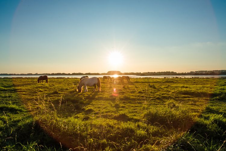
UNESCO is best known for the World Heritage List. But UNESCO also recognises heritage in other areas, which means you will encounter UNESCO sites also in North Brabant.
-
Slow travel along the best parts of the Land van de Peel
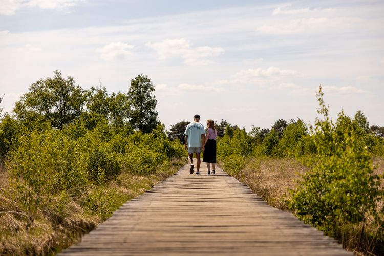
A region where the heart beats to the unmistakable Brabant hospitality, individuality, and passion for enjoying life in a way that only the people of Brabant know how to do.
-
Cycling in the footsteps of Philips and Van Gogh in Eindhoven
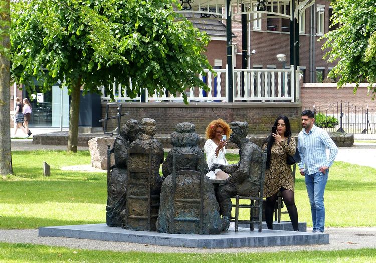
Anyone exploring North Brabant will sooner or later follow in the footsteps of local icons. These are sure to include the Philips brothers and Vincent van Gogh, the master painter.
-
Cycling past the highlights of the Brabantse Wal
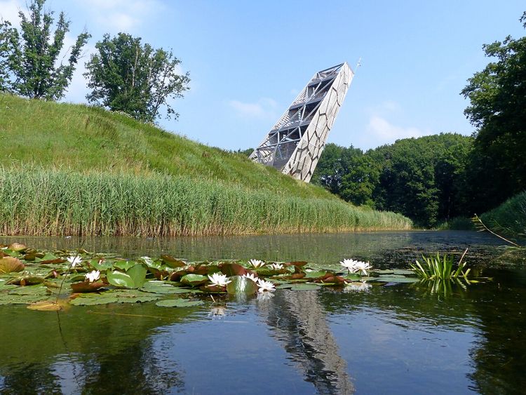
Sandwiched between Zeeland and the Belgian border lies the Brabantse Wal or Brabant Ridge – an area where the higher sandy ground merges into polders of marine clay soil. Let's explore this area by bicycle starting in the historic city, Bergen op Zoom.
-
A weekend of Van Gogh and New Dutch
Innovative, persistent and just a bit of a rebel. Immerse yourself for a whole weekend in New Dutch in Eindhoven and cycle in the footsteps of Van Gogh to picturesque Nuenen.