Leenderbos/Groote Heide
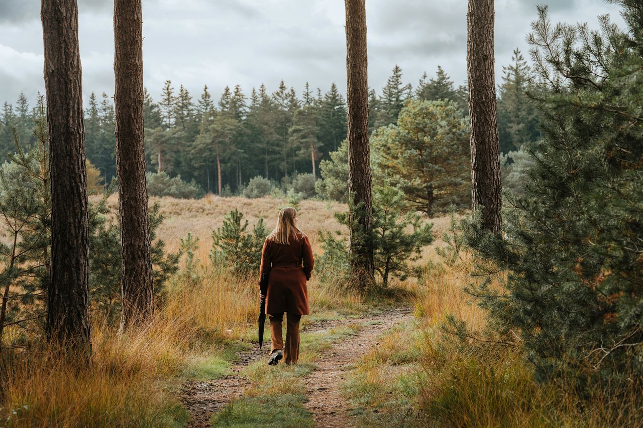
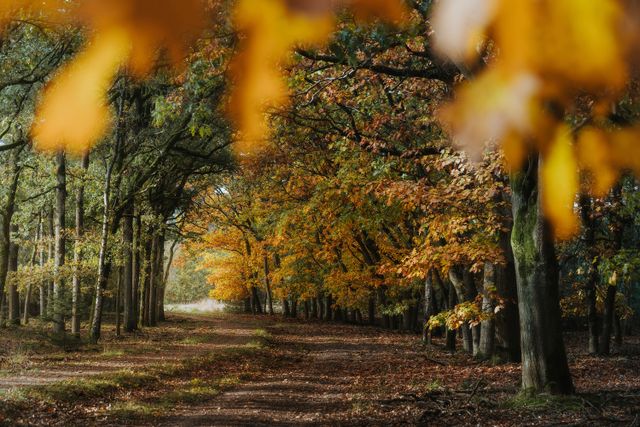
The Leenderbos/Groote Heide used to be a run-of-the-mill production forest. Nature has since been allowed to take its course and the vegetation is becoming increasingly more varied and therefore more attractive to various species. The Leenderbos/Groote He
The Leenderbos/Groote Heide used to be a run-of-the-mill production forest. Nature has since been
allowed to take its course and the vegetation is becoming increasingly more varied and therefore
more attractive to various species.
The Leenderbos/Groote Heide (Leenderbos for short) is located south of the road that runs from
Valkenswaard to Leende (Valkenswaardseweg) and ultimately to De Achelse Kluis. The part of the
Leenderbos that borders on De Achelse Kluis is also knows as the Groote Heide. The Leenderbos is
part of the Natura 2000 area Leenderbos, Groote Heide & De Plateaux. It is part of an extensive
nature reserve on a contiguous sand ridge between Eindhoven and Achel. The area of the
Leenderbos is enclosed by the Tongelreep river to the west, the Valkenhorst nature reserve to the
north, Leenderstrijp and the Strijper Aa river valley to the east and the Groote Heide nature reserve
to the south.
Production forest
Until 1930, the…
The Leenderbos/Groote Heide used to be a run-of-the-mill production forest. Nature has since been
allowed to take its course and the vegetation is becoming increasingly more varied and therefore
more attractive to various species.
The Leenderbos/Groote Heide (Leenderbos for short) is located south of the road that runs from
Valkenswaard to Leende (Valkenswaardseweg) and ultimately to De Achelse Kluis. The part of the
Leenderbos that borders on De Achelse Kluis is also knows as the Groote Heide. The Leenderbos is
part of the Natura 2000 area Leenderbos, Groote Heide & De Plateaux. It is part of an extensive
nature reserve on a contiguous sand ridge between Eindhoven and Achel. The area of the
Leenderbos is enclosed by the Tongelreep river to the west, the Valkenhorst nature reserve to the
north, Leenderstrijp and the Strijper Aa river valley to the east and the Groote Heide nature reserve
to the south.
Production forest
Until 1930, the Leenderbos forestry was a vast area of heathlands and sand drifts. As the heath
became insufficiently profitable for agriculture, neglect set in. The State Forestry Administration
purchased the area and planted forests as part of an unemployment relief project. The Leenderbos
was a typical production forest, as many others planted in the Netherlands at the time.
Times are different now though, and the Leenderbos no longer has the same function as in those
crisis years. It is true that the forest still “produces” a certain amount of timber every year, but
recreation and natural values are now at least as important. The area has many hiking, cycling and
equestrian trails, and the woods are becoming more diverse and therefore attractive to different
types of animals.
Want to know more about the Leenderbos? Here is everything you need to know about the
Leenderbos!
This is how to reach Leenderbos/Groote Heide
Strijperpad 3
Leende Plan your route naar Leenderbos/Groote Heide
Starting point: from your location


