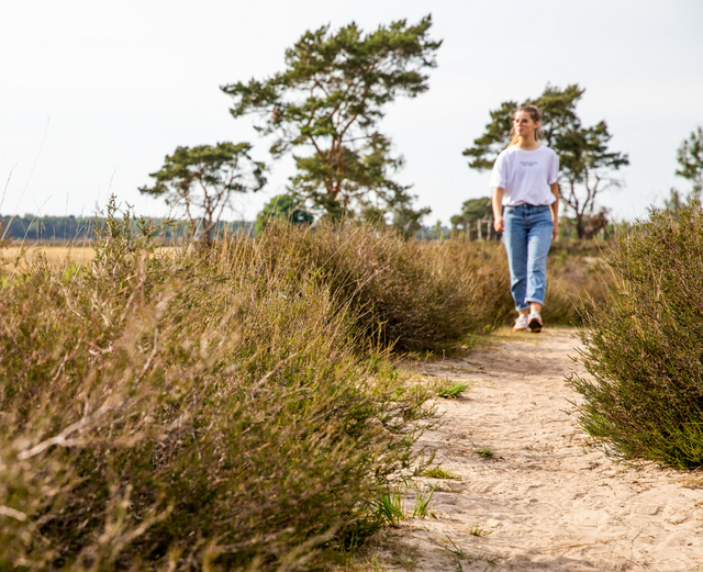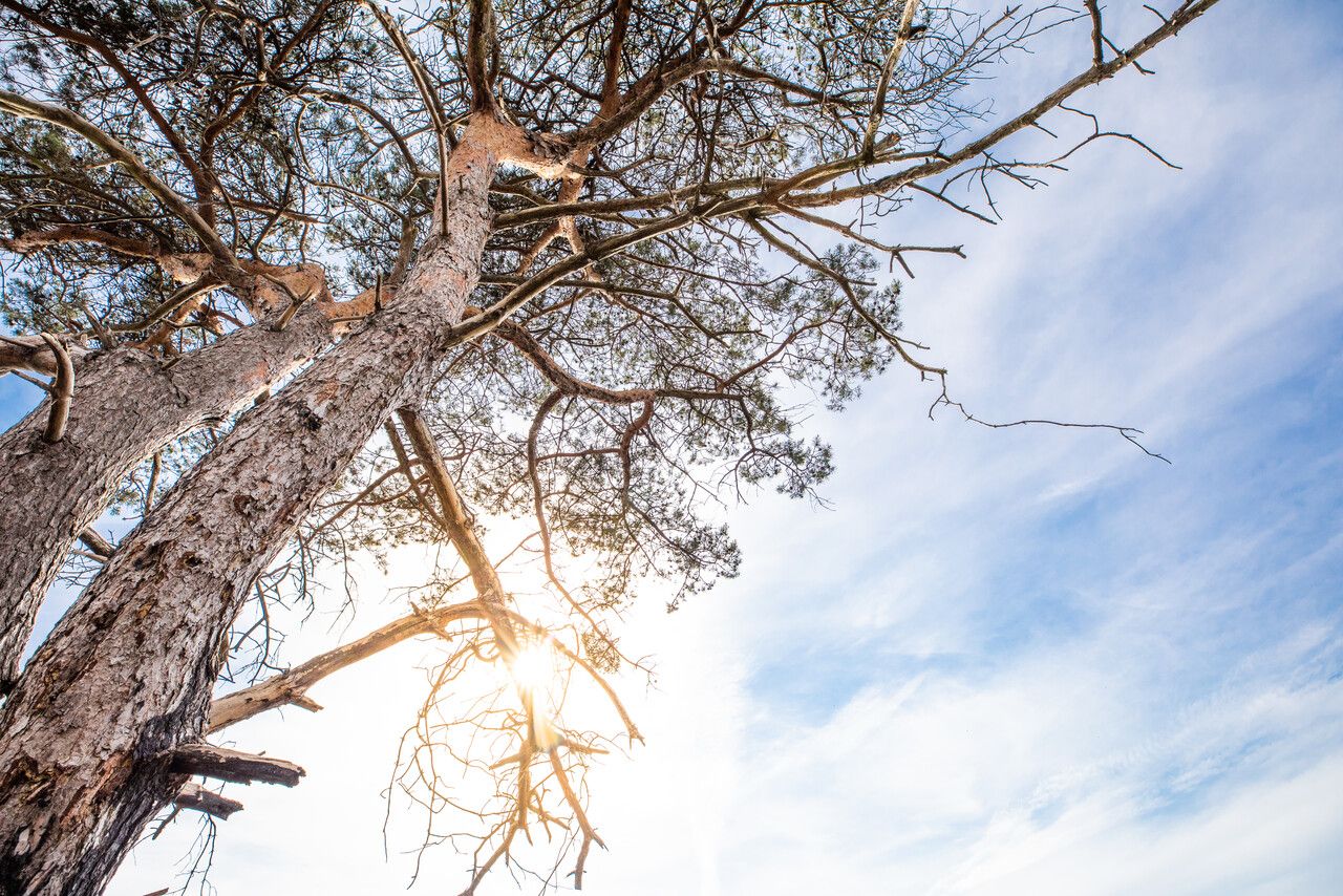


The Kalmthoutse Heide heath, a natural park south of Bergen op Zoom, is a park full of contrasts. You've got heathland, fens and woods, making this national park a particularly varied hiking area that many consider to be their favourite.
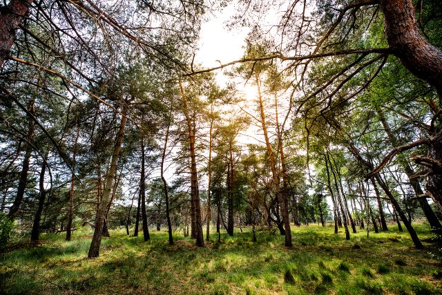
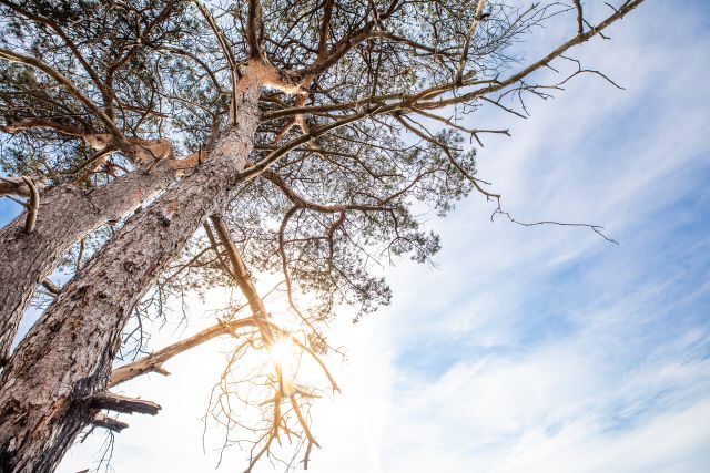
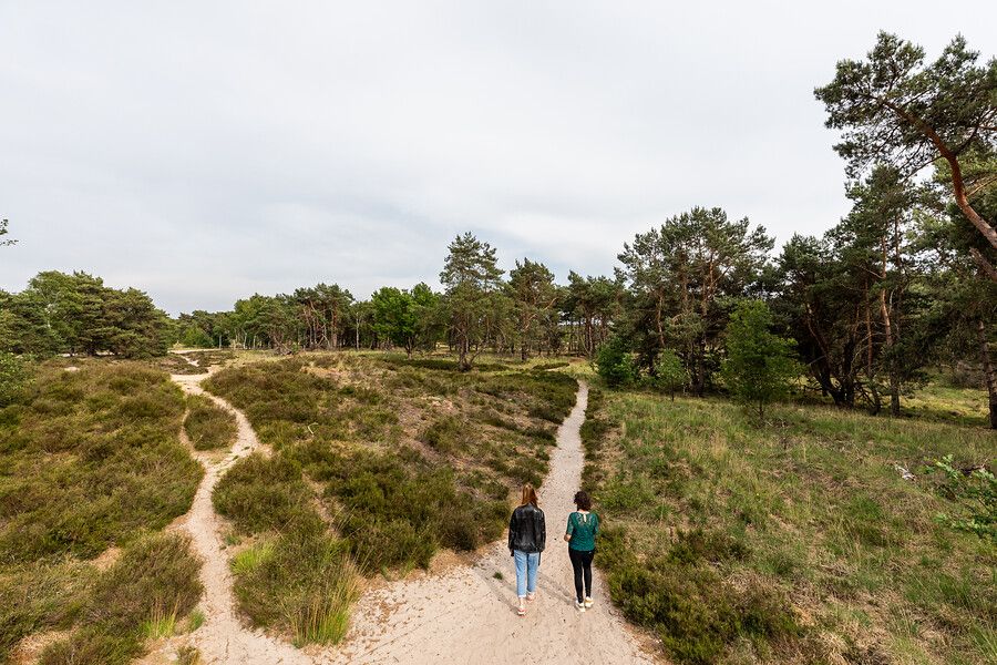
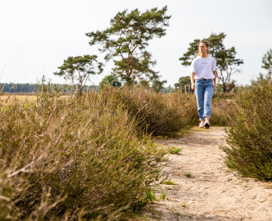
During this beautiful walk close to the Dutch-Belgian border, you'll be hiking along largely unpaved paths with occasional height differences. You will pass deciduous and coniferous forests, heathlands, sand drifts and dunes. During your walk, listen carefully to the sounds in the forest. There's a good chance you will hear a spotted woodpecker rap-tap-tapping on a tree. This walk is also suitable for children. It is a relatively simple round trip that starts and ends at a campsite with a pancake restaurant. A good spot to end your walk with a nice lunch.
Recommended by the forester
This …
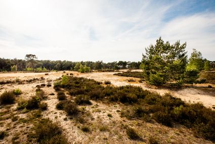
The Kalmthoutse Heide heath, a natural park south of Bergen op Zoom, is a park full of contrasts. You've got heathland, fens and woods, making this national park a particularly varied hiking area that many consider to be their favourite.
During this beautiful walk close to the Dutch-Belgian border, you'll be hiking along largely unpaved paths with occasional height differences. You will pass deciduous and coniferous forests, heathlands, sand drifts and dunes. During your walk, listen carefully to the sounds in the forest. There's a good chance you will hear a spotted woodpecker rap-tap-tapping on a tree. This walk is also suitable for children. It is a relatively simple round trip that starts and ends at a campsite with a pancake restaurant. A good spot to end your walk with a nice lunch.
Recommended by the forester
This walking route was developed in cooperation with Dutch preservation organisation Natuurmonumenten. The forester recommends the walking route:
"Highly recommended because of the beautiful view of the dunes. A more active hike on the border area between the Netherlands and Belgium."
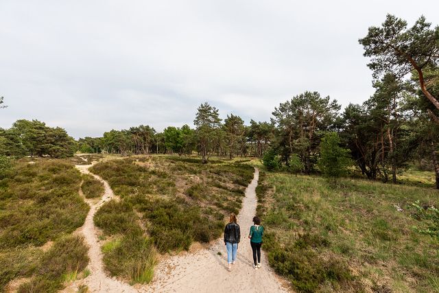
How does the walking route work?
The walking route is clearly signposted with the intersection numbers and arrows showing you the way.
Panel with map
The intersection network is a network of beautiful and clearly signposted walking paths throughout North Brabant. You can walk from one numbered intersection to the next. At almost each intersection you find a panel with a map of the roads and routes in the area. Getting lost is a thing of the past. Go on foot and discover our beautiful province!
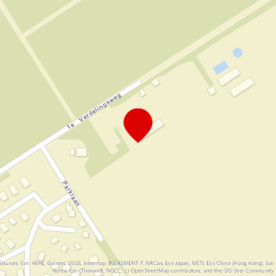
You can park your car at pancake restaurant De Heusche Bollaert, on the grounds of Recreatiecentrum Hazeduinen.
Address:
1ste Verdelingsweg 6
4645 RT Putte
Within the park, this route is indicated as route Mier (Ant). Follow the red signs depicting an ant.